Itasy Volcanic Field, Volcanic field in the Itasy region, Madagascar
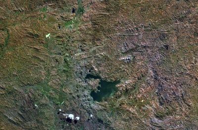
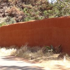
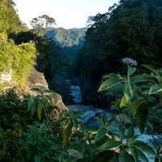
The Itasy Volcanic Field is a dormant volcanic field in the Itasy region of central Madagascar, sitting on a plateau at around 1800 meters above sea level. It is made up of scoria cones, lava domes, maars, and hardened lava formations composed mainly of trachyte, a dense volcanic rock, along with trachybasalt and phonolite.
The field formed through hotspot volcanism and was last active around 6000 years ago, placing its final eruptions in the period around 4050 BCE. It built up over much older basement rocks such as gneiss and granite, which still show through the volcanic layers in several places.
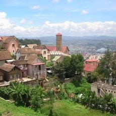
The name Itasy comes from the nearby lake, which also gave its name to the surrounding region. In local villages, elders still pass down stories about the land's volcanic past, and the dark stone is a familiar part of everyday building traditions.
The field lies to the west of Antananarivo and can be reached by road, with the dry season generally offering easier travel conditions. The ground is rocky and uneven throughout, so sturdy footwear is a good idea before setting out.
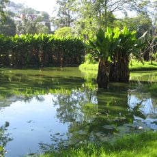
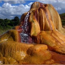
Along the shores of nearby Lake Itasy, warm springs and gas vents can still be found today, even though the field has been dormant for thousands of years. These geothermal signs are rare to come across in this part of Madagascar.
The community of curious travelers
AroundUs brings together thousands of curated places, local tips, and hidden gems, enriched daily by 60,000 contributors worldwide.