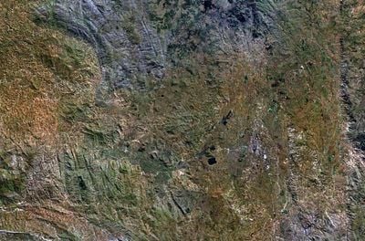
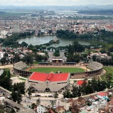
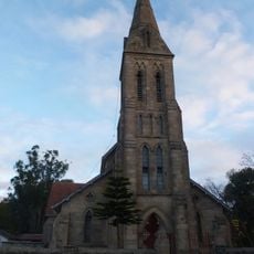
Ankaratra, Mountain range and volcano in central Madagascar.
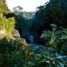
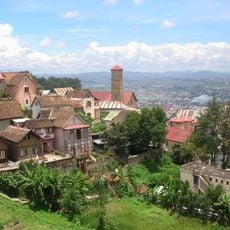
Ankaratra is a mountain range in central Madagascar with multiple peaks, the highest of which reaches approximately 2,600 meters. The landscape features rocky slopes and is shaped by volcanic rock formations that define the character of this mountain system.
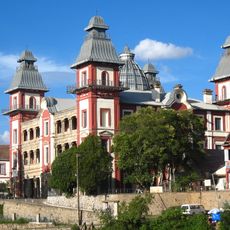
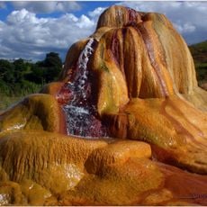
This mountain range was formed through volcanic activity in an earlier geological period, with traces of this activity still visible today in the form of hot springs. The thermal springs near Antsirabe demonstrate how volcanic processes have left lasting marks on the landscape.
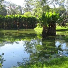
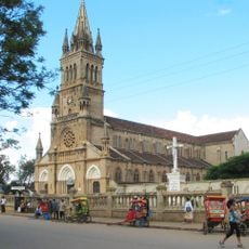
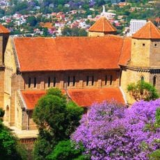
Local Malagasy communities maintain strong connections to the mountains through their traditional practices and daily activities in the surrounding agricultural lands.
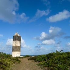
You can reach this mountain range through several access points near towns like Arivonimamo and Ambatolampy. A network of hiking trails of varying difficulty allows visitors to explore the region, though conditions will differ depending on the season and weather.
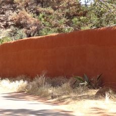
The rock that builds these mountains is trachyte, a volcanic material with distinctive properties. This geological composition gives the landscape profile and formations here their characteristic appearance.
Elevation above the sea: 2,642 m
Made from material: trachyte
GPS coordinates: -19.34978,47.24334
Latest update: December 12, 2025 09:03
Rova of Antananarivo
56.3 km
Ambohimanga
74.2 km
Ranomafana National Park
209 km
Iavoloha Palace
48.9 km
Mahamasina Municipal Stadium
56.4 km
Ambohitsorohitra Palace
57 km
Zahamena National Park
252.4 km
Peyrieras Reptile Reserve
75 km
Andafiavaratra Palace
56.6 km
Lemurs' Park
45.8 km
Botanical and Zoological Garden of Tsimbazaza
55.4 km
Immaculate Conception Cathedral, Antananarivo
56.8 km
Zoma
57.5 km
Our Lady of La Salette Cathedral, Antsirabé
62 km
Lycée Andohalo Antananarivo
56.8 km
Saint Laurent's Cathedral, Ambohimanoro
56.9 km
Andriamamovoka Falls
212.8 km
FJKM Rasalama Maritiora Ambohipotsy
55.6 km
Cathédrale du Saint-Nom-de-Jésus
235.3 km
EKAR Faravohitra
57.5 km
Croc Farm Ivato
67 km
Temple FJKM de Faravohitra
57.6 km
Tranompokonolona Analakely
57.5 km
Lemur Island
135 km
Andranomandroatra Analavory Geysers
79.1 km
Mananjary Transverse Range Front Lighthouse
238.2 km
Cathedral of St. Augustine in Mananjary
239.7 km
Ville haute d'Antananarivo
56.5 kmVisited this place? Tap the stars to rate it and share your experience / photos with the community! Try now! You can cancel it anytime.
Discover hidden gems everywhere you go!
From secret cafés to breathtaking viewpoints, skip the crowded tourist spots and find places that match your style. Our app makes it easy with voice search, smart filtering, route optimization, and insider tips from travelers worldwide. Download now for the complete mobile experience.
A unique approach to discovering new places❞
— Le Figaro
All the places worth exploring❞
— France Info
A tailor-made excursion in just a few clicks❞
— 20 Minutes