Enable Location

We need your location to show you interesting places around you

Discover nearby places

Find interesting locations and hidden gems around you

Precise directions

Get accurate directions and distances to places

Your location is never shared with other users. It's only used when you tap the location button.

Rivière des Remparts

Log in to your account

Start exploring — it's free

Trusted by 62,491 travelers worldwide

Continue with Google
Continue with Apple
or

We will send you a code to connect

By continuing, you accept our Terms and Conditions and our Privacy Policy

Check your inbox

We've sent a pincode in your inbox. Please enter the code below.

Rivière des Remparts

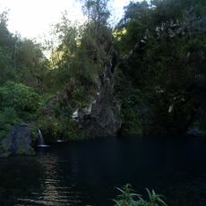
Rivière des Remparts, River valley in Saint-Joseph, Réunion, France

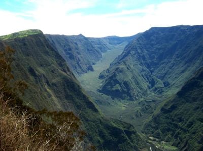
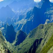
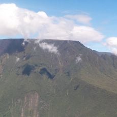
Rivière des Remparts is a river flowing southward through a deep valley near Saint-Joseph in Réunion, where canyon walls tower over 1000 meters high. The watercourse stretches 27 kilometers and cuts through volcanic terrain shaped by ancient geological processes.

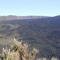
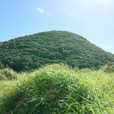
The valley formed approximately 250,000 years ago through volcanic activity that fractured the landscape. Later, lava flows from Crater Commerson covered the area around 2000 years ago, reshaping the terrain.

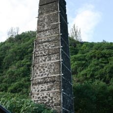
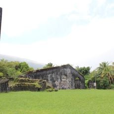
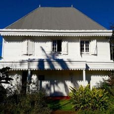
The village of Roche Plate nestled in the valley maintains connections to traditional Réunion life, despite its small population today. Residents here live closely tied to the land and local ways that define the region.

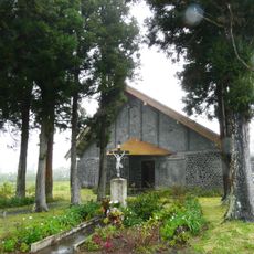
Views of the valley are best enjoyed from the Notre-Dame de la Paix viewpoint or while walking the hiking trails that lead through the terrain. Wear sturdy footwear and follow marked paths, especially during the rainy season when water flows are stronger.

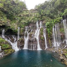
During dry months the river vanishes underground, flowing through lava tunnels carved by ancient volcanic forces beneath the surface. The watercourse reappears only when rain fills these subterranean channels during the wet season.

The community of curious travelers

AroundUs brings together thousands of curated places, local tips, and hidden gems, enriched daily by 60,000 contributors worldwide.

Start exploring
Location
GPS coordinates
-21.38556,55.61861
Latest update
December 6, 2025 17:44
Natural sites and cultural places in La Réunion

La Réunion is an island shaped by dramatic natural forces. Volcanoes, waterfalls, and mountains define the landscape. The Piton des Neiges rises to 3070 meters and dominates the island. Deep canyons cut through the terrain, crater lakes mirror the sky, and botanical gardens showcase the variety of...

« Rivière des Remparts - River valley in Saint-Joseph, Réunion, France » is provided by Around Us (aroundus.com). Images and texts are derived from Wikimedia project under a Creative Commons license. You are allowed to copy, distribute, and modify copies of this page, under the conditions set by the license, as long as this note is clearly visible.

Discover hidden gems everywhere you go!

From secret cafés to breathtaking viewpoints, skip the crowded tourist spots and find places that match your style. Our app makes it easy with voice search, smart filtering, route optimization, and insider tips from travelers worldwide. Download now for the complete mobile experience.

Around Us App Screenshot

A unique approach to discovering new places

Le Figaro

All the places worth exploring

France Info

A tailor-made excursion in just a few clicks

20 Minutes

Around Us
Travel Guide & Maps
Download

Send to your phone

QR Code
1

Open the camera app on your mobile.

2

Point at the QR code with your camera. A notification will appear.

3

Tap the notification to open the link.