Chamarel, human settlement
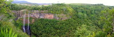
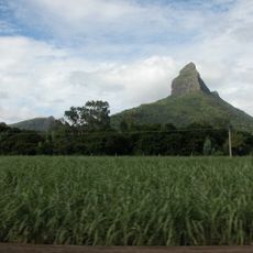
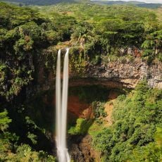
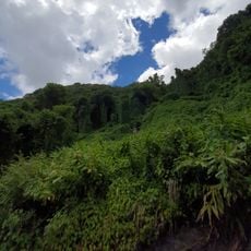
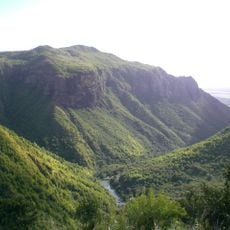
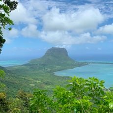
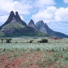
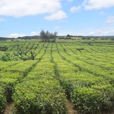
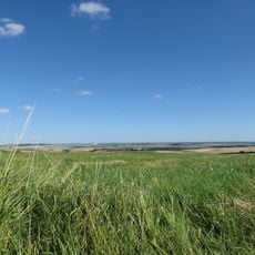
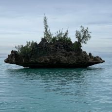
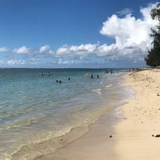
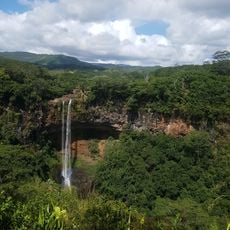
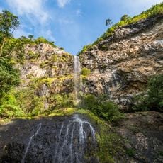
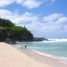
Chamarel is a small settlement in the Rivière Noire District on Mauritius' west side, nestled in the hills with views toward the coast. The place is surrounded by lush vegetation and offers cool mountain breezes along quiet paths through green terrain.
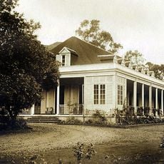
The village is named after Charles Antoine de Chazal de Chamarel, a French planter who settled the area around 1800 and owned extensive estates. Later the area became known as the Valley of Blacks for its dark volcanic soil, reflecting the island's distinct geological past.
The village takes its name from a French planter who settled the area in the 1800s, and this heritage remains part of local memory. Creole traditions shape daily life here, expressed through music, food, and stories that residents continue to share and pass down.
The settlement is reached by road from the coast and offers accommodations ranging from small guest houses to family-run lodges with mountain views. Wear sturdy shoes for walking trails and arrive early in the day when the earth colors appear most vibrant.
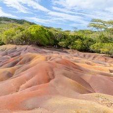
The Seven Coloured Earths are a natural phenomenon where sands of seven different colors sit side by side and shift their hues depending on sunlight and viewing angle. This pattern formed from mineral deposits left by volcanic activity centuries ago, and the colors appear most intense after rain has dampened the earth's surface.
The community of curious travelers
AroundUs brings together thousands of curated places, local tips, and hidden gems, enriched daily by 60,000 contributors worldwide.