
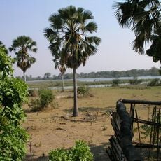
Balama District, district of Mozambique
Location: Cabo Delgado Province
GPS coordinates: -13.34500,38.57100
Latest update: April 26, 2025 05:20
Liwonde National Park
386.8 km
Niassa Reserve
249.1 km
Mount Namuli
277 km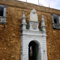
Fort São Sebastião
300.2 km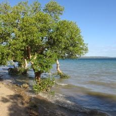
Quirimbas National Park
242.4 km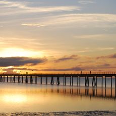
Mozambique Island Bridge
298.4 km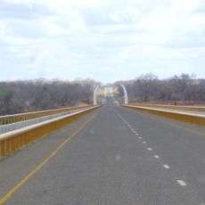
Unity Bridge
215 km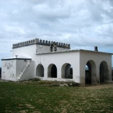
Chapel of Nossa Senhora de Baluarte
300.3 km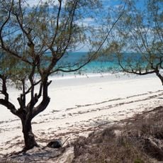
Chocas Mar
293.4 km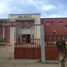
National Museum of Ethnography Nampula
211.2 km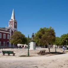
Jesuit College and Chapel of Saint Paul (Governor’s Palace)
299.8 km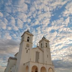
Our Lady of Fatima Cathedral
210.9 km
Ibo fortresses
245.3 km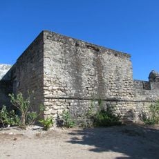
Fortim de São José do Ibo
245.1 km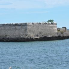
Fort São Lourenço
300.2 km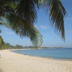
Wimbe Beach
217.1 km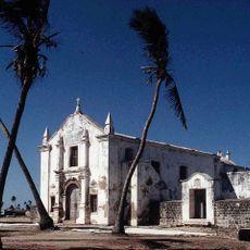
Church Saint Anthony
300.2 km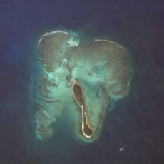
Tambuzi Island
314.6 km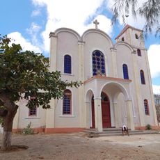
St. Paul's Cathedral, Pemba
213 km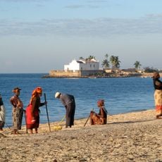
Fort Saint Anthony
300.2 km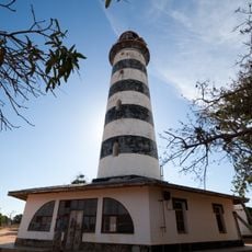
Pinda Lighthouse
250.8 km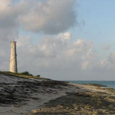
Medjumbe Lighthouse
279.2 km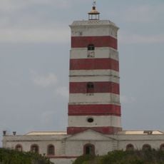
Lighthouse on Goa island
305.6 km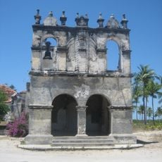
Church of Our Lady of Remedy (Cabaceira Grande)
296 km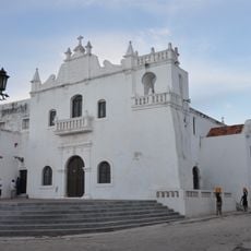
Igreja da Misericórdia (Ilha de Moçambique)
299.8 km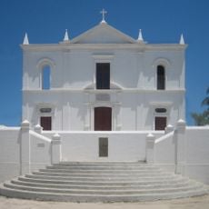
Church of Our Lady of Health
299.8 km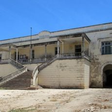
Courthouse, Ilha de Moçambique
299.9 km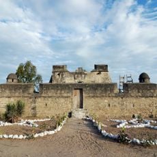
Santo Antonio Fort
245.5 kmReviews
Visited this place? Tap the stars to rate it and share your experience / photos with the community! Try now! You can cancel it anytime.
Discover hidden gems everywhere you go!
From secret cafés to breathtaking viewpoints, skip the crowded tourist spots and find places that match your style. Our app makes it easy with voice search, smart filtering, route optimization, and insider tips from travelers worldwide. Download now for the complete mobile experience.

A unique approach to discovering new places❞
— Le Figaro
All the places worth exploring❞
— France Info
A tailor-made excursion in just a few clicks❞
— 20 Minutes