Chest opened
+${chestReward.xp} XP
Explorer
NOUVEAU ×${chestReward.collectible.quantity}
tapez pour fermer
Chest locked

Open chests in the app

Around Us is built for your phone — chests unlock when you walk, explore and capture nearby places.

Enable Location

We need your location to show you interesting places around you

Discover nearby places

Find interesting locations and hidden gems around you

Precise directions

Get accurate directions and distances to places

Your location is never shared with other users. It's only used when you tap the location button.

Log in to your account

Start exploring — it's free

Trusted by 73,017 travelers worldwide

Continue with Google
Continue with Apple
or

We will send you a code to connect

By continuing, you accept our Terms and Conditions and our Privacy Policy

Check your inbox

We've sent a pincode in your inbox. Please enter the code below.

Geography of Mayotte
Discussion Reviews Photo
25.2k Popularity

Geography of Mayotte, Volcanic island department in northern Mozambique Channel, France.

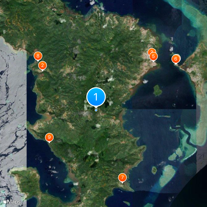
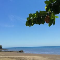
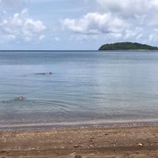
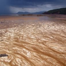
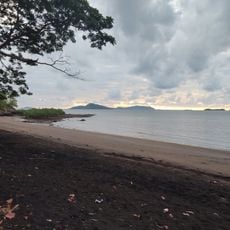
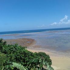
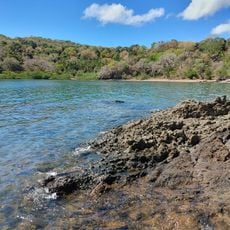
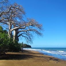
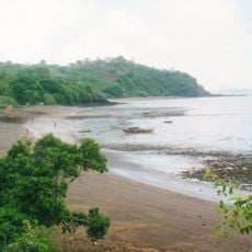
Mayotte is an island territory in the northern Mozambique Channel consisting of two main islands, Grande-Terre and Petite-Terre, surrounded by a large coral reef. The entire area spans several hundred square kilometers with mountainous terrain and numerous bays.

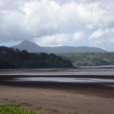
The territory formed millions of years ago through volcanic activity and is the oldest landmass in the Comoros archipelago. This geological history continues to shape the landscape today with volcanic features and pronounced elevation changes.

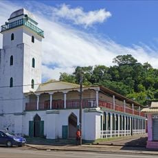
The territory is shaped by three main languages: French as the official language, alongside Shimaore and Kibushi, reflecting its position between African and French influences. This linguistic variety is evident in daily life and defines the identity of those who live here.

The climate divides into two seasons: a hot, wet period from November to May with cyclone risk, and a cooler, drier period from May to November. Visitors should plan accordingly and prepare for humid conditions during the rainy season.

Mount Benara is the highest peak and rises steeply from the terrain, while deep ravines and volcanic peaks create an irregular, craggy pattern across the islands. This dramatic topography makes the landscape particularly striking for hikers and nature enthusiasts.

The community of curious travelers

AroundUs brings together thousands of curated places, local tips, and hidden gems, enriched daily by 60,000 contributors worldwide.

Start exploring
Part of
Comoros Islands
GPS coordinates
-12.83333,45.16667
Latest update
December 20, 2025 11:25
Reviews
Share your experience

No review yet

Discussions
Start a discussion...

No discussion yet

« Geography of Mayotte - Volcanic island department in northern Mozambique Channel, France » is provided by Around Us (aroundus.com). Images and texts are derived from Wikimedia project under a Creative Commons license. You are allowed to copy, distribute, and modify copies of this page, under the conditions set by the license, as long as this note is clearly visible.

Discover hidden gems everywhere you go!

From secret cafés to breathtaking viewpoints, skip the crowded tourist spots and find places that match your style. Our app makes it easy with voice search, smart filtering, route optimization, and insider tips from travelers worldwide. Download now for the complete mobile experience.

Around Us App Screenshot

A unique approach to discovering new places

Le Figaro

All the places worth exploring

France Info

A tailor-made excursion in just a few clicks

20 Minutes

Around Us
Travel Guide & Maps
Download

Send to your phone

QR Code
1

Open the camera app on your mobile.

2

Point at the QR code with your camera. A notification will appear.

3

Tap the notification to open the link.