Mount Frankland National Park, National park in Western Australia, Australia.
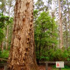
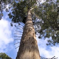
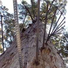
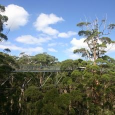
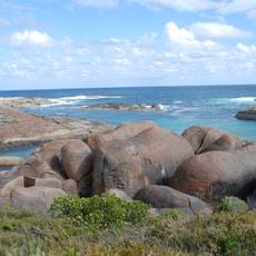
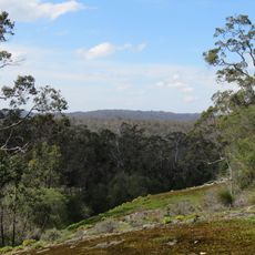
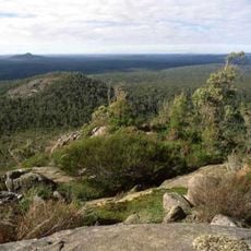
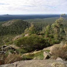
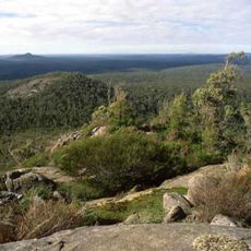
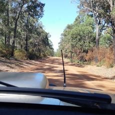
Mount Frankland National Park covers 371.22 square kilometres of low granite hills north of Walpole, within the Walpole Wilderness Area. Karri and red tingle forests grow across the park, with low heathland on thin soil over granite outcrops. Mount Frankland, a 411-metre granite peak, rises in the park and carries a fire lookout at its summit.
Thomas Braidwood Wilson climbed Mount Lindesay in 1829 and charted the surrounding peaks, naming this one after George Frankland, then Surveyor General of Tasmania. The Aboriginal name Caldyanup was already in use. The area around the granite peak became a national park on 23 December 1988, initially covering 308 km², with additions in 2004 and 2005 bringing it to 373.59 km².
The granite peak is called Caldyanup by the area's Aboriginal inhabitants, a name recorded alongside the English one. The name Mount Frankland dates from 1829, when Thomas Braidwood Wilson charted the hills from Mount Lindesay and named the peak after George Frankland, then Surveyor General of Tasmania.
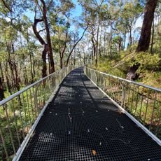
The area has several walking trails of different lengths and difficulty levels that lead to the summit. Visitors can find an old fire lookout tower there that offers views across the surrounding forests and is easy to access.
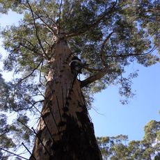
Three tingle species grow only between the park and the coast, and they are the only eucalypts with buttressed trunks, a form that reflects the park's moist conditions. Karri and red tingle here are among the world's largest trees. On thin soil over granite outcrops, low heathland replaces the forest.
The community of curious travelers
AroundUs brings together thousands of curated places, local tips, and hidden gems, enriched daily by 94,460 contributors worldwide.