
Lymburner Falls, شلال في أستراليا الغربية
Location: Western Australia
Elevation above the sea: 119 m
GPS coordinates: -34.75686,116.83650
Latest update: April 7, 2025 20:20
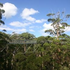
Walpole-Nornalup National Park
23.4 km
William Bay National Park
47.1 km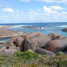
Elephant Rocks
47.1 km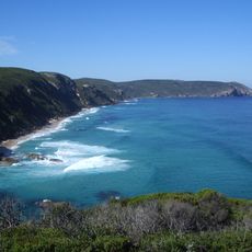
D'Entrecasteaux National Park
35.5 km
Shannon National Park
46.4 km
Mount Frankland National Park
8.6 km
Walpole Wilderness Area
26 km
Mount Lindesay National Park
46.6 km
Sir James Mitchell National Park
64.1 km
Lake Muir National Park
24.2 km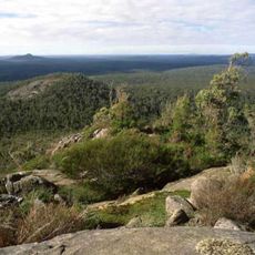
Mount Roe National Park
8.9 km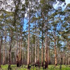
Mount Frankland South National Park
23.2 km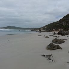
Anvil Beach
56.3 km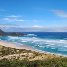
Conspicuous Cliff Lookout
31.3 km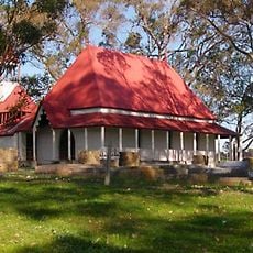
St Werburgh's Chapel and Cemetery
70.3 km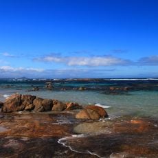
Salmon Bay Beach
32.8 km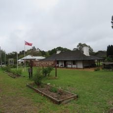
Police Station and Gaol Complex
77 km
Round House, Mount Barker
77 km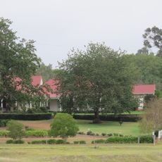
St Werburgh's Farm Buildings
69.9 km
Walpole Public Library
26.3 km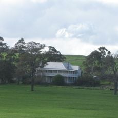
Hassell Homestead
75 km
Bornholm Beach
76.8 km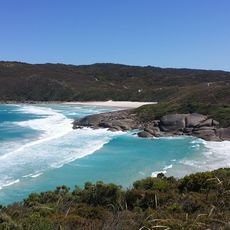
Lowlands Beach
71.2 km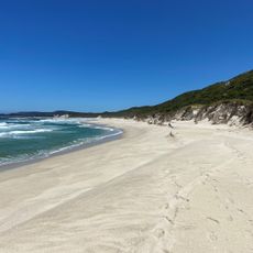
Bellanger Beach
30.4 km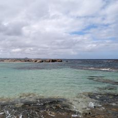
Soft Beach
33.4 km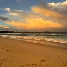
Ocean Beach
54.3 km
Coodarmurrup Beach
58.9 km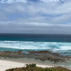
Back Beach
52 kmReviews
Visited this place? Tap the stars to rate it and share your experience / photos with the community! Try now! You can cancel it anytime.
Discover hidden gems everywhere you go!
From secret cafés to breathtaking viewpoints, skip the crowded tourist spots and find places that match your style. Our app makes it easy with voice search, smart filtering, route optimization, and insider tips from travelers worldwide. Download now for the complete mobile experience.

A unique approach to discovering new places❞
— Le Figaro
All the places worth exploring❞
— France Info
A tailor-made excursion in just a few clicks❞
— 20 Minutes