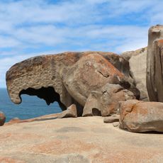
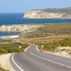
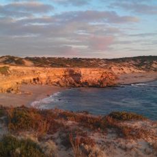
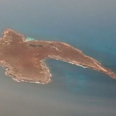
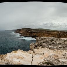
Cape Donington, Coastal headland in South Australia
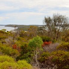
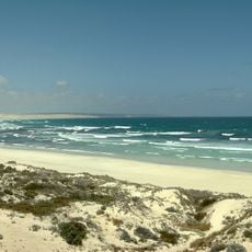
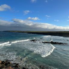
Cape Donington is a coastal headland in South Australia that juts into the sea and creates a natural barrier at the mouth of Port Lincoln harbor. The promontory features a wooded ridge that rises above the surrounding landscape, making it visible from the water.
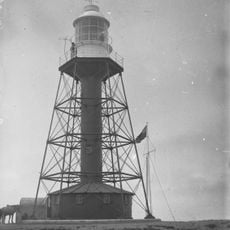
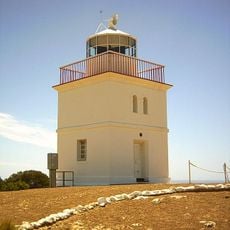
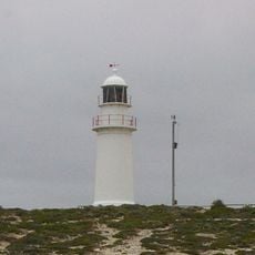
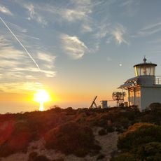
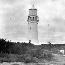
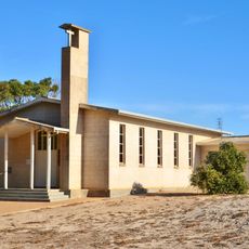
The headland was named in 1802 by British Navy officer Matthew Flinders, who called it after his home village in Lincolnshire, England. A lighthouse was built in the early 1900s to guide vessels navigating along the coast.
The maritime heritage of Cape Donington includes the establishment of navigation aids in 1905, leading to the construction of a lighthouse for vessel guidance.
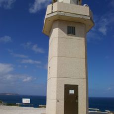
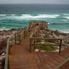
The lighthouse and support buildings are visible from the main viewing areas and accessible via marked paths. Visiting during calmer weather provides safer access to the elevated areas where views across the harbor are best.
The lighthouse sits atop a wooded ridge that rises about 53 meters above sea level, serving as a navigation point visible from far out at sea. This natural elevation was key to why the location was chosen for maritime navigation aids.
The community of curious travelers
AroundUs brings together thousands of curated places, local tips, and hidden gems, enriched daily by 60,000 contributors worldwide.