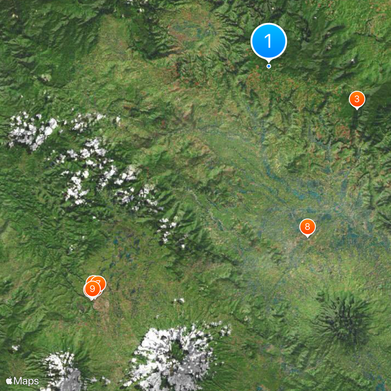
Lima Puluh Kota, Administrative regency in West Sumatra, Indonesia
Lima Puluh Kota is an administrative regency in West Sumatra encompassing thirteen districts across mountainous terrain. The landscape features waterfalls, canyon formations, and farmland, with Sarilamak serving as the administrative center.
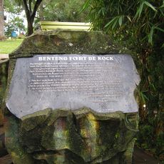
The regency was established in 1841 as an administrative division organized into thirteen districts. This territorial structure has remained the foundation of how the region is organized today.
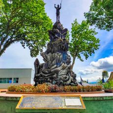
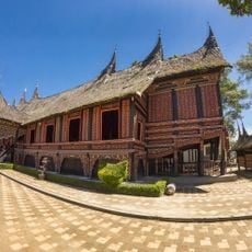
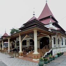
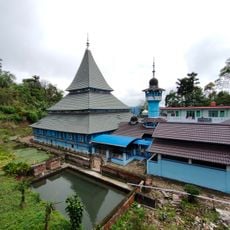
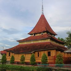
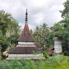
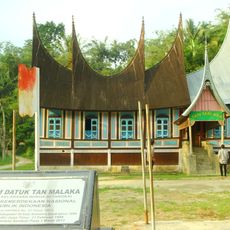
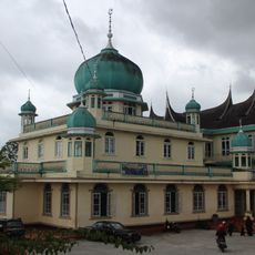
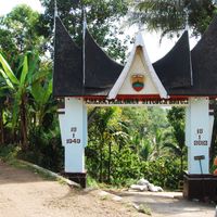
The Minangkabau culture here is shaped by a matrilineal system that influences how families own property and make decisions together. You can see this in the way people gather for celebrations and in how their houses are constructed with distinctive architectural features.
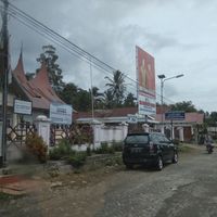
The regency is best explored using local transportation that connects the thirteen districts throughout the region. Accommodations range from traditional houses to modern facilities located in various towns and village centers.
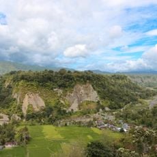
Harau Canyon stands out as a remarkable natural formation with steep cliffs and cascading waterfalls that draw climbing enthusiasts to the area. The canyon's dramatic rock walls create an impressive geological feature.
The community of curious travelers
AroundUs brings together thousands of curated places, local tips, and hidden gems, enriched daily by 60,000 contributors worldwide.