
Air Haji, village in South Pesisir Regency, West Sumatra, Indonesia
Location: Linggo Sari Baganti
GPS coordinates: -1.87000,100.98600
Latest update: April 28, 2025 12:47

Mount Kerinci
36.5 km
Kerinci Seblat National Park
82.2 km
Tropical Rainforest Heritage of Sumatra
90.5 km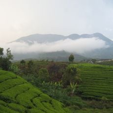
Mount Talang
104.9 km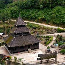
Tuo Kayu Jao Mosque
104.2 km
Telun Berasap Falls
44.3 km
Mount Kunyit
71.2 km
Mount Tujuh
53.6 km
Koto Baru Grand Mosque
44 km
Mande Rubiah Museum
45.3 km
60 Kurang Aso Mosque
45.7 km
Surau Menara
43.9 km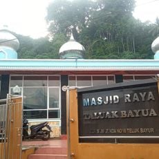
Teluk Bayur Grand Mosque
119.1 km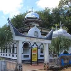
Al-Imam Koto Baru Mosque
33.7 km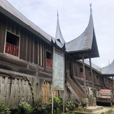
Rumah Gadang 20 Ruang
111.9 km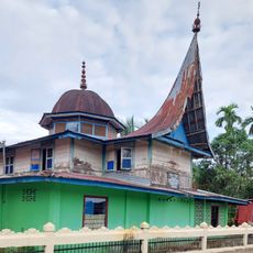
Surau Ampalu Koto Gadang Bungus
113.2 km
Masjid Lama Al-Ittihad
116.8 km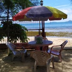
Sungai Nipah Beach
71.6 km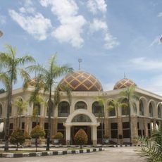
Jabal Rahmah Grand Mosque
117.1 km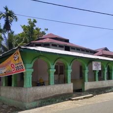
Masjid Tsamaratul Ikhwan Koto Rawang
31 km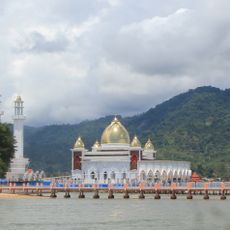
Masjid Samudra Illahi
74.2 km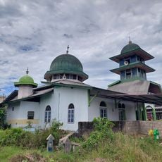
Musala Ta'aruf Bandar Buat
119.4 km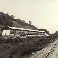
Ombilin Coal Storage
118.7 km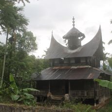
Surau Anjuang Tanah Sirah
114.4 km
Pantai Karla
34.8 km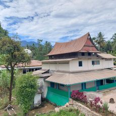
Surau Ubudiyah
116.5 km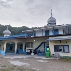
Masjid Muhammadiyah Teluk Bayur
118.9 km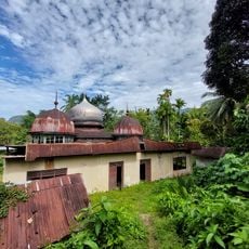
Masjid Jihad Lama Koto Baru
86.4 kmReviews
Visited this place? Tap the stars to rate it and share your experience / photos with the community! Try now! You can cancel it anytime.
Discover hidden gems everywhere you go!
From secret cafés to breathtaking viewpoints, skip the crowded tourist spots and find places that match your style. Our app makes it easy with voice search, smart filtering, route optimization, and insider tips from travelers worldwide. Download now for the complete mobile experience.

A unique approach to discovering new places❞
— Le Figaro
All the places worth exploring❞
— France Info
A tailor-made excursion in just a few clicks❞
— 20 Minutes