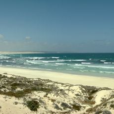
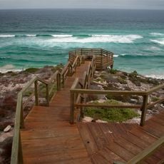
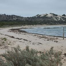
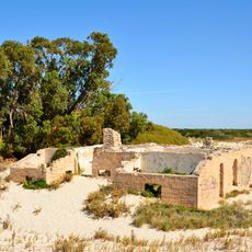
Great Australian Bight Marine Park, Marine protected area in South Australia.
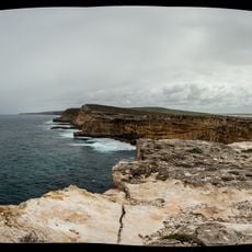
Great Australian Bight Marine Park is a protected area along the South Australian coast that spans both shallow coastal waters and deep ocean zones. It contains designated sections with different protection levels, where some areas allow regulated activities like boating and fishing while others remain completely closed to such uses.
The area became an official marine protected space in 1996, signaling Australia's commitment to safeguarding its ocean waters. Integration into a larger marine reserve system in 2012 expanded protection measures and conservation goals across a broader region.
The park's name comes from the Great Australian Bight, the vast bay it protects. Dutch navigator Pieter Nuyts sailed this coast in January 1627 aboard the Gulde Zeepaard, and Joseph Bruny d'Entrecasteaux followed in December 1792 with La Recherche and L'Espérance. Commercial whaling and sealing began around 1800 and faded after 1845 as catches fell.
The park lay 918 km west of Adelaide, starting 200 km west of Ceduna and running along the coast to the Western Australia border. Its southern limit largely followed latitude 31°47' S, roughly the 12-nautical-mile line, with a 20-nautical-mile-wide strip reaching 370 km south, giving the reserve a T-shape. A 3-nautical-mile coastal strip was managed by South Australia, the rest by the Commonwealth.
The park's T-shape comes from a 20-nautical-mile-wide strip that runs 200 nautical miles south from the coast, protecting deep-sea benthos while the coastal section shelters Australian sea lions and southern right whales. Warm tropical water from Western Australia meets cold Southern Australian water here, feeding a rich fauna of red algae, sea squirts, bryozoans, molluscs and echinoderms, many of them endemic.
The community of curious travelers
AroundUs brings together thousands of curated places, local tips, and hidden gems, enriched daily by 94,794 contributors worldwide.