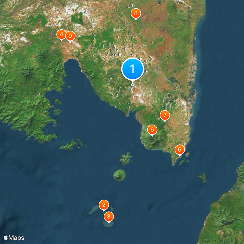
South Lampung, Administrative region in Sumatra, Indonesia
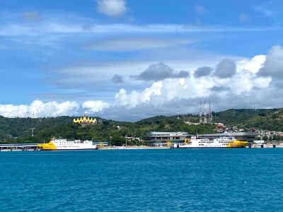
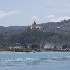
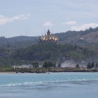
South Lampung is an administrative region in southern Sumatra featuring coastal areas along the Sunda Strait and agricultural plains. The area is shaped by Bakauheni Port, which functions as the main transportation hub connecting Sumatra and Java.
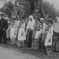
The territory was part of the Srivijaya empire until the 11th century and later fell under the influence of the Banten Sultanate during Islam's spread in the 16th century. These two periods shaped the region's religious and political development.
The region holds traces of Hindu and Buddhist traditions visible at sites like Palas, Talangpadang, and Mount Besar. Archaeological finds at these locations reveal religious practices from earlier periods.
The best time to visit is during the dry season when roads and ports are more accessible. Bakauheni Terminal is the main point for connections to the neighboring island, so checking schedules in advance is helpful.
The district of Natar displays the highest population density in the region and grows through migration from other Indonesian areas. This rapid development makes it a center of urbanization in South Lampung.
The community of curious travelers
AroundUs brings together thousands of curated places, local tips, and hidden gems, enriched daily by 60,000 contributors worldwide.