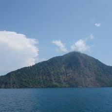
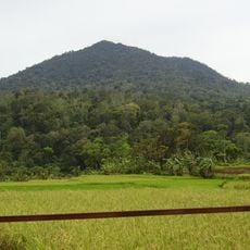
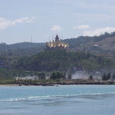
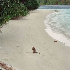
Gunung Rajabasa, Stratovolcano in Lampung Selatan, Indonesia.
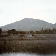
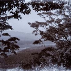
Gunung Rajabasa is an isolated conical volcano on the Sunda Strait at the southeastern tip of Sumatra, reaching 1,281 m. Its summit holds a well-preserved crater measuring 500 by 700 m, with a swampy floor, and the slopes are covered with vegetation. It lies about 5 km south of Kalianda and is visible from the Merak–Bakauheni crossing.
The volcano showed two recorded periods of fumarolic activity in the 1800s, with no eruptions documented afterward. These episodes represent the only known volcanic activity signs in its recorded history.
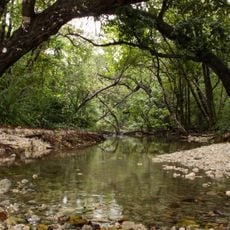
The mountain serves as a water source that local communities depend on for farming and daily needs. People in the surrounding area have built their way of life around the natural resources this volcanic landscape provides.
The summit lies about 5 km south of Kalianda, the nearest town and usual starting point. The upper slopes are steep and very steep in places, and the crater floor is swampy, so boots and enough water are needed. The cone is visible from the sea on the Merak–Bakauheni crossing.
The crater floor is a swamp, 500 by 700 metres across, holding standing water at the summit of an isolated cone. Every stream on the upper eastern slopes drains into the Sekampung River Basin and is drawn off for irrigation on the southern downstream side.
The community of curious travelers
AroundUs brings together thousands of curated places, local tips, and hidden gems, enriched daily by 93,244 contributors worldwide.