Cilacap, Administrative regency in Central Java, Indonesia.
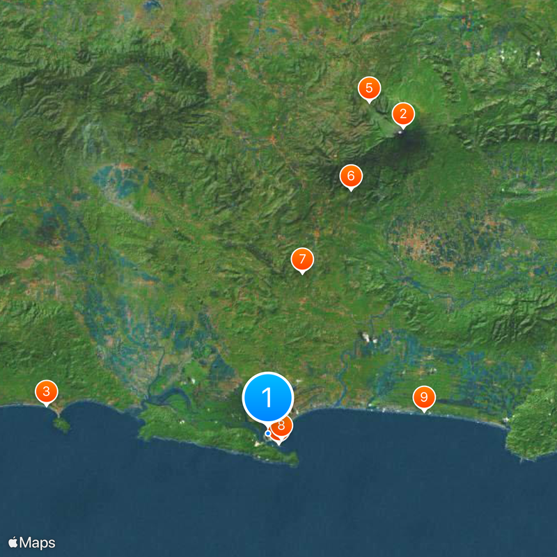
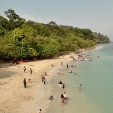
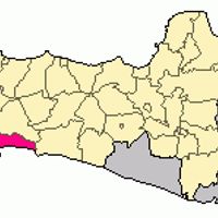
Cilacap is a regency occupying the southwestern corner of Central Java, bordered by the Indian Ocean to the south and neighboring provinces to the west and east. The territory includes coastal lowlands, forested hills inland, and the offshore island of Nusakambangan, which sits parallel to the mainland shore.
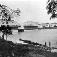
During the Second World War, the harbor served as a final departure point for civilians and military personnel fleeing the advancing Japanese forces. Ships carried refugees from here to Australia before the area fell under Japanese control.
The population of two million people communicates in multiple languages, including the regional Banyumasan dialect, standard Javanese, Sundanese, and Indonesian.
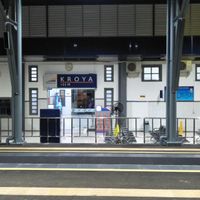
Access to the region is available through an airport, rail connections, and a seaport, with trains running regularly to Jakarta. Roads link the area to neighboring provinces and towns further inland in Central Java.
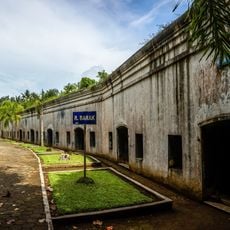
The 19th-century fortress Benteng Pendem lies hidden beneath thick vegetation and contains tunnels, casemates, and watchtowers. Visitors can walk through the sprawling underground passages that once served military purposes.
The community of curious travelers
AroundUs brings together thousands of curated places, local tips, and hidden gems, enriched daily by 60,000 contributors worldwide.