Chest opened
+${chestReward.xp} XP
Explorer
NOUVEAU ×${chestReward.collectible.quantity}
tapez pour fermer

See the monuments around you in AR Open chests in the app

Around Us is built for your phone — point your camera at the streets and discover the monuments and places around you in augmented reality. Around Us is built for your phone — chests unlock when you walk, explore and capture nearby places.

•

Enable Location

We need your location to show you interesting places around you

Discover nearby places

Find interesting locations and hidden gems around you

Precise directions

Get accurate directions and distances to places

Your location is never shared with other users. It's only used when you tap the location button.

Pantai Menganti

Log in to your account

Start exploring — it's free

Trusted by 94,051 travelers worldwide

Continue with Google
Continue with Apple
or

We will send you a code to connect

By continuing, you accept our Terms and Conditions and our Privacy Policy

Check your inbox

We've sent a pincode in your inbox. Please enter the code below.

Pantai Menganti

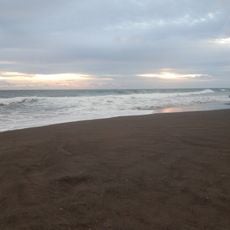
Pantai Menganti, Beach in Kebumen, Indonesia.

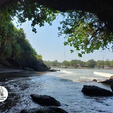
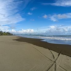
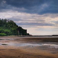
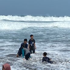
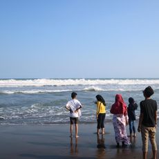
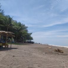
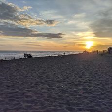
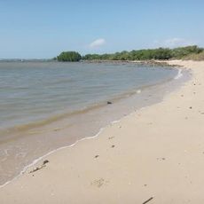
Pantai Menganti stretches about 1.5 km along the Indian Ocean in Karangduwur village, Ayah district, Kebumen. Its western end is a sloping white-sand shore, while the eastern end rises into limestone hills of the Gombong Karst. The beach area is narrow, covering only the front of these hills.

Before 2011, Pantai Menganti served fishermen as a harbour and fish auction site. In 2011 it was designated a public tourist attraction, and surfers from Sukabumi Regency and Bali began using it as a surfing spot. The name Menganti comes from a cave in Karangduwur village, linked to a Majapahit commander who waited for his lover there.

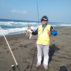
Local fishermen work here daily, keeping alive fishing traditions that have supported families for generations. You can watch their boats and nets become part of the everyday rhythm of this beach.

The beach lies in Karangduwur village, Ayah district, about 40 km south of Kebumen city, a drive of roughly 1.5 hours through hilly terrain. From Yogyakarta the route via Wates, Purworejo and Kebumen covers about 120 km, around 3 hours. The final stretch follows signed roads to the beach.

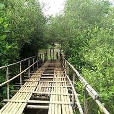
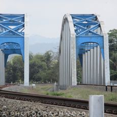
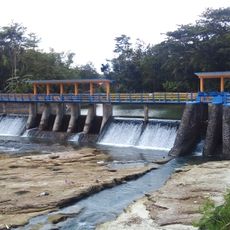
The beach is only about 1.5 km long, running from the sloping white-sand western end to a hill on the eastern side. The stretch called Pantai Menganti covers just the front of the Gombong Karst hills, so the sand is narrow. A red bridge stands as the area's icon, and a hill is used for watching the sunset.

The community of curious travelers

AroundUs brings together thousands of curated places, local tips, and hidden gems, enriched daily by 94,051 contributors worldwide.

Start exploring
Location
Location
Address
Menganti Beach, Central Java, Indonesia
GPS coordinates
-7.77018,109.41298
Latest update
October 29, 2026 09:08
Reviews
Share your experience

No review yet

Discussions
Start a discussion...

No discussion yet

« Pantai Menganti - Beach in Kebumen, Indonesia » is provided by Around Us (aroundus.com). Images and texts are derived from Wikimedia project under a Creative Commons license. You are allowed to copy, distribute, and modify copies of this page, under the conditions set by the license, as long as this note is clearly visible.

Discover hidden gems everywhere you go!

From secret cafés to breathtaking viewpoints, skip the crowded tourist spots and find places that match your style. Our app makes it easy with voice search, smart filtering, route optimization, and insider tips from travelers worldwide. Download now for the complete mobile experience.
Around Us App Screenshot
❝

A unique approach to discovering new places❞

— Le Figaro

❝

All the places worth exploring❞

— France Info

❝

A tailor-made excursion in just a few clicks❞

— 20 Minutes

Around Us
Travel Guide & Maps
Download

Send to your phone

QR Code
1

Open the camera app on your mobile.

2

Point at the QR code with your camera. A notification will appear.

3

Tap the notification to open the link.