South-east Peninsula, Sulawesi, Peninsula of islands and mountains in Sulawesi, Indonesia.
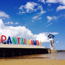
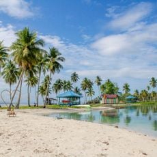
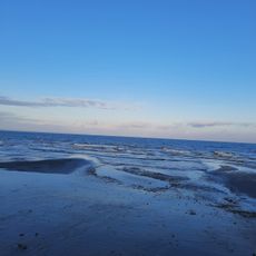
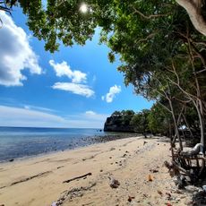
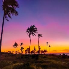
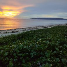
The South-east Peninsula of Sulawesi extends into the Banda Sea and is characterized by mountain ranges, dense forests, and coastal towns. The region comprises several major islands and numerous smaller landmasses with a varied coastline that shifts between rocky cliffs and sandy beaches.
The region came under Dutch colonial control, which built fortifications in its western areas to establish authority. Following independence, the area developed into an important hub for trade and local commerce in eastern Indonesia.
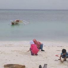
Five ethnic groups inhabit the peninsula, each maintaining distinct languages, crafts, and daily practices that define the local character. As you travel through settlements, you notice different house styles, fishing methods, and market customs that reflect these separate traditions.
Access to the region is mainly through flights to larger centers like Kendari or via airports on Buton and Wakatobi islands. The best time to visit is during the dry season, when roads and trails are easier to navigate and weather remains more stable.
The Moramo waterfall system presents itself as a series of natural pools and cascades distributed across several kilometers through the forest. Visitors can walk between different levels and discover how water depths and plant growth vary at each step of the formation.
The community of curious travelers
AroundUs brings together thousands of curated places, local tips, and hidden gems, enriched daily by 60,000 contributors worldwide.