Mowewe, district in East Kolaka Regency, Southeast Sulawesi Province, Indonesia
Location: East Kolaka
Location: Kolaka
Elevation above the sea: 349 m
GPS coordinates: -3.65000,121.53417
Latest update: April 2, 2025 10:00

Bantimurung – Bulusaraung National Park
242.1 km
Pettakere cave
253.7 km
Lore Lindu National Park
280.7 km
Jesus Buntu Burake
195.1 km
Kete Kesu
194.2 km
Buntu Rantemario
170.2 km
Al-Alam Kendari Mosque
118 km
Palopo Old Mosque
165.7 km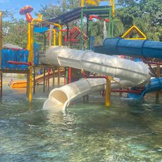
Bugis Waterpark
281.6 km
Al-Markaz Al-Islami Mosque
286.1 km
Rawa Aopa Watumohai National Park
95.7 km
Pokekea Megalithic Site
262.9 km
Citraland Waterpark Kendari
117.8 km
Kassi Kebo Stadium
265.2 km
Rumah Katu Marine Park
277.5 km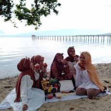
Madale Beach
267.6 km
Sintuwu Maroso Square
265.6 km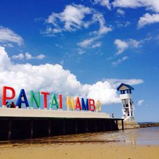
Pantai Nambo
126.5 km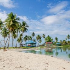
Pantai Wantopi
217.6 km
Matua Water Boom
193.7 km
Pantai Pa'badilan
264.2 km
Siuri
233.9 km
Pantai merpati
259 km
Pantai Batulohe
278.2 km
Benteng weir
206.4 km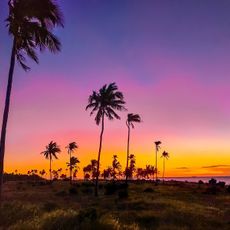
Pantai Liwutongkidi
242 km
Pantai Kapoa
238.3 km
Pantai Jodoh
257.8 kmReviews
Visited this place? Tap the stars to rate it and share your experience / photos with the community! Try now! You can cancel it anytime.
Discover hidden gems everywhere you go!
From secret cafés to breathtaking viewpoints, skip the crowded tourist spots and find places that match your style. Our app makes it easy with voice search, smart filtering, route optimization, and insider tips from travelers worldwide. Download now for the complete mobile experience.

A unique approach to discovering new places❞
— Le Figaro
All the places worth exploring❞
— France Info
A tailor-made excursion in just a few clicks❞
— 20 Minutes