
Mawsons Huts of 1912
Mawsons Huts of 1912, Antarctica, Commonwealth Bay and Cape Denison. The AAE hut from 1912, ice filled. The 1962 Australian party that visited Mawsons Hut 50 years later.
Location: Australian Antarctic Territory
GPS coordinates: -67.00873,142.66091
Latest update: March 20, 2025 10:02
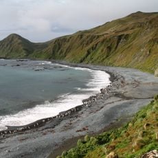
Macquarie Island
1623.6 km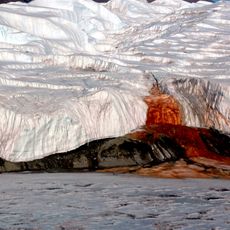
Blood Falls
1348 km
Bharati Station
2623.4 km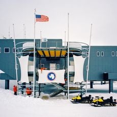
Amundsen–Scott South Pole Station
2559.1 km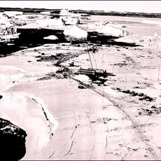
Mirny Station
2121.6 km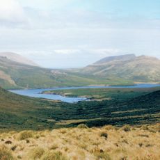
New Zealand Subantarctic Islands
2228 km
Kunlun Station
2318.8 km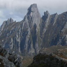
Federation Peak
2652.4 km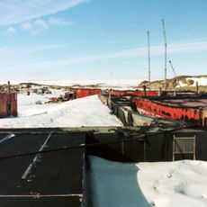
Wilkes Station
1405.4 km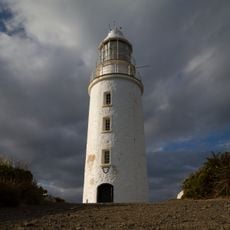
Cape Bruny Lighthouse
2631.8 km
South Coast Track
2634.4 km
George III
2628.7 km
South Bruny National Park
2635.8 km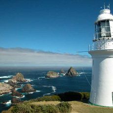
Maatsuyker Island Lighthouse
2608.5 km
Mount Honey
2154.9 km
Brock Mount
2631.2 km
Exit Cave, Tasmania
2642.4 km
Adamsons Falls
2644.1 km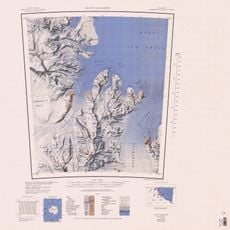
German Glacier
1922.3 km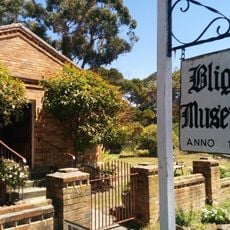
Bligh Museum
2646.6 km
McMurdo Station
1427.7 km
Cemetery Beach
2649 km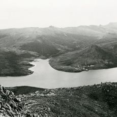
Campbell Island/Motu Ihupuku Historic Area
2156.9 km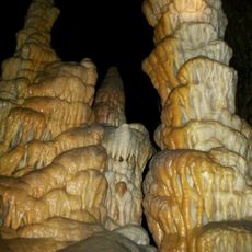
Hastings Caves
2642.6 km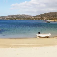
Sayers Beach
2620.3 km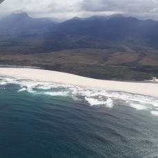
Prion Beach
2624.1 km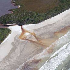
Cox Bight and Freney Lagoon
2626.5 km
Granite Beach, Tasmania
2617.4 kmReviews
Visited this place? Tap the stars to rate it and share your experience / photos with the community! Try now! You can cancel it anytime.
Discover hidden gems everywhere you go!
From secret cafés to breathtaking viewpoints, skip the crowded tourist spots and find places that match your style. Our app makes it easy with voice search, smart filtering, route optimization, and insider tips from travelers worldwide. Download now for the complete mobile experience.

A unique approach to discovering new places❞
— Le Figaro
All the places worth exploring❞
— France Info
A tailor-made excursion in just a few clicks❞
— 20 Minutes