South Coast Track, Hiking trail in Southwest National Park, Tasmania, Australia
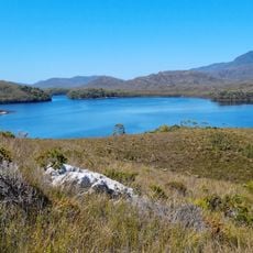
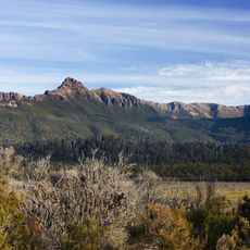
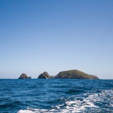
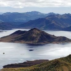
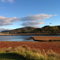
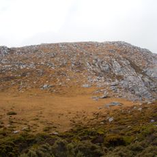
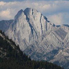
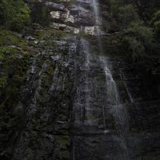
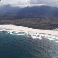
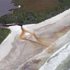
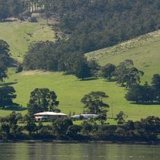
The South Coast Track is a wilderness walking route spanning 85 kilometers through coastal heathlands, mountain ranges, and untouched beaches between Melaleuca and Cockle Creek. The trail crosses diverse landscapes including protected temperate rainforests and exposed coastal sections.
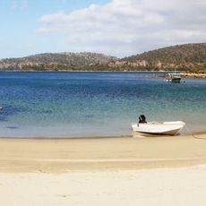
The South Coast Track is a marked bushwalking route managed by the Tasmanian Parks & Wildlife Service as a wilderness walk; the source records no Aboriginal trail history for it. Walkers traditionally start at Melaleuca and head south to Cox Bight, then east past the Louisa River and over the Ironbound Range to Deadmans Bay and Prion Beach, where a boat crossing of a narrow ocean inlet is needed. The route continues via Granite Beach and South Cape Rivulet to Cockle Creek, its eastern terminus.
The route passes through lands where Tasmanian Aboriginal communities lived for thousands of years, leaving behind shell middens and other archaeological signs of their presence. These traces remain visible to walkers today.
Hikers must fly to Melaleuca to reach the starting point and carry all supplies for six to eight days of walking. Water crossings at New River Lagoon need careful planning based on weather and tide conditions.
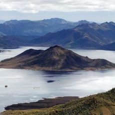
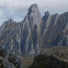
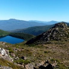
The route crosses the Ironbound Range at 905 meters elevation, offering expansive views of the coast and surrounding terrain. Rare plant species thrive in the protected rainforests accessible only to walkers who travel this path.
The community of curious travelers
AroundUs brings together thousands of curated places, local tips, and hidden gems, enriched daily by 93,359 contributors worldwide.