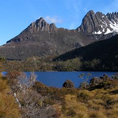
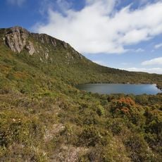
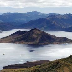
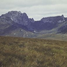
Lake Pedder, Artificial reservoir in southwestern Tasmania, Australia.
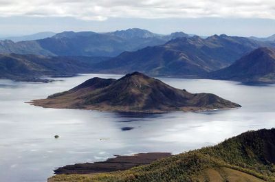
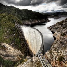
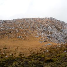
Lake Pedder is a reservoir in southwestern Tasmania covering around 242 square kilometers and bounded by three dams. The water reaches depths of up to 43 meters (141 feet) in places, held back by the Serpentine, Scotts Peak and Edgar dams.
The original glacial lake formed around 10,000 years ago and was flooded in 1972 through dams on the Serpentine and Huon rivers. Authorities created the reservoir for electricity generation, greatly enlarging the former body of water.
The reservoir bears the name of Sir John Pedder, Tasmania's first chief justice in the 19th century. Its flooding triggered widespread protests and led to the formation of the world's first green party in 1972.
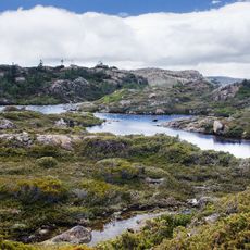
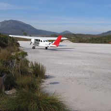
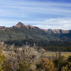
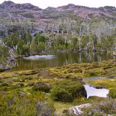
The area sits remote in southwestern Tasmania and is reached by unsealed roads that can be difficult in poor weather. Visitors should bring enough supplies and fuel, as facilities nearby are limited.
The original lake still lies intact beneath 15 meters (49 feet) of water at the bottom of the present reservoir. Several species, including the Lake Pedder earthworm, vanished after the flooding and are now considered extinct.
The community of curious travelers
AroundUs brings together thousands of curated places, local tips, and hidden gems, enriched daily by 60,000 contributors worldwide.