Southwest National Park, National park in Tasmania, Australia
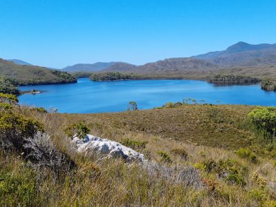
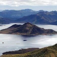
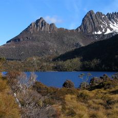
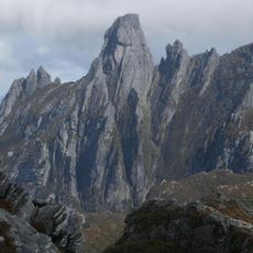
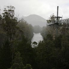
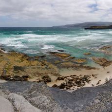
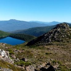
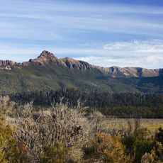
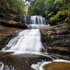
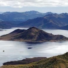
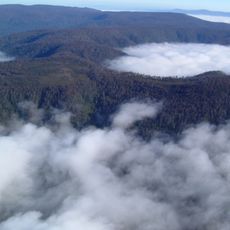
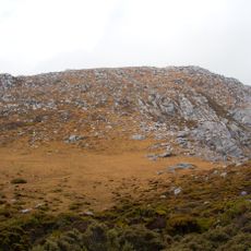
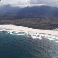
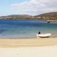
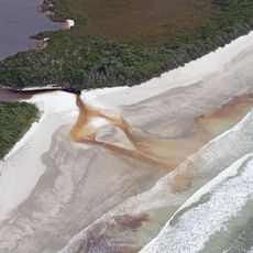
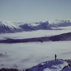
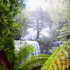
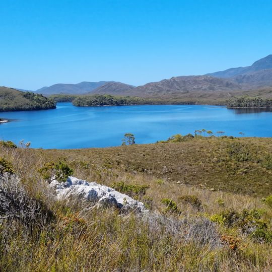
Southwest National Park is Tasmania's largest national park, covering 6,183 km² in the island's south-west. It borders Franklin-Gordon Wild Rivers National Park to the north and Hartz Mountains National Park to the east, forming part of the Tasmanian Wilderness World Heritage Area. The landscape is mostly moorland with eucalypts and rainforest, and the only road leads to the hydroelectric township of Strathgordon.
The area became a protected park in 1955 under the name Lake Pedder National Park, then expanded into its current form in 1968. It later gained World Heritage status as part of Tasmania's wilderness designation, recognizing its importance for conservation.
Southwest Tasmania was home to the South West nation, one of nine Aboriginal nations in the state, with four known clans: Mimegin, Lowreenne, Ninene and Needwonne. These nomadic hunter-gatherers took shellfish, crayfish, seals and penguins on the coast and wallabies, wombats and birds on the buttongrass plains. Repeated burning of the moorlands encouraged fresh growth that drew game.
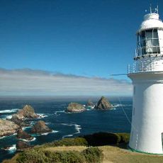
Only one road enters the park, running to the hydroelectric township of Strathgordon; the southern and western reaches have no vehicle access and are reached on foot, by boat or by light aircraft. Melaleuca in the far south-west has an airstrip and very basic facilities run mainly by the Parks and Wildlife Service. Expect over 2,000 mm of rain a year, strong to cyclonic westerly winds, frosts and frequent cloud.
The park's remote southwest holds Melaleuca, a tiny locality with an airstrip and basic facilities used by the Parks and Wildlife Service. It lies within a key breeding zone for the critically endangered orange-bellied parrot, of which only 150 to 200 birds remain in the wild.
The community of curious travelers
AroundUs brings together thousands of curated places, local tips, and hidden gems, enriched daily by 93,375 contributors worldwide.