Tasmanian Wilderness, Protected wilderness in Tasmania, Australia
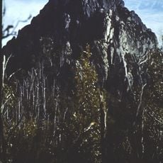
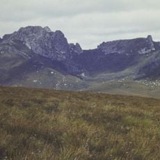
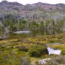
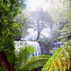
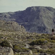
The Tasmanian Wilderness is a protected area covering much of western and southern Tasmania, made up of Tasmania's four largest national parks and smaller conservation areas. It spans about 15,800 km2, almost 25 per cent of the state, and includes the South West Wilderness. Its highest point is only 1,600 m, yet much of the land is rugged and holds Australia's only extensive recently glaciated terrain, with jagged peaks, a broad saddle and a blue lake at the foot of forested slopes.
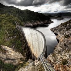
The Tasmanian Wilderness was inscribed on the World Heritage List in 1982, during the Franklin Dam controversy, under joint arrangements between Australia's federal government and the Tasmanian government. It was expanded in 1989 after the Helsham Inquiry, a decision to protect a eucalypt forest from logging. A management plan followed in 1992, replaced in 1999. In 2014 the Abbott government proposed de-listing the area to allow logging; the World Heritage Committee rejected this, and in 2016 Tasmania withdrew a bid to allow logging after a UNESCO report opposed it.
Aboriginal Tasmanian people inhabited and managed this landscape for thousands of years, with evidence of their presence found in limestone caves throughout the region. Today, visitors can see these traces and understand how the land was used by its first inhabitants.
The main entry points are at Cradle Mountain and Lake St Clair, where you can begin exploring the wilderness. Hiking trails, camping areas, and guided tours are available throughout the year.
The Tasmanian Wilderness meets seven of the ten World Heritage criteria, a tally matched only by Mount Tai in China. Limestone caves in the area hold evidence of human occupation more than 20,000 years old.
The community of curious travelers
AroundUs brings together thousands of curated places, local tips, and hidden gems, enriched daily by 94,405 contributors worldwide.