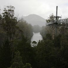
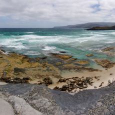
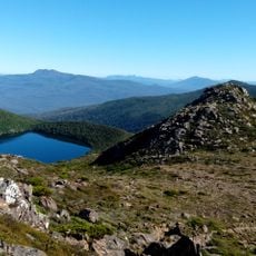
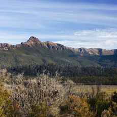
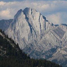
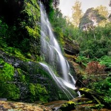
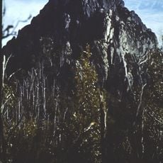
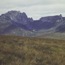
Scotts Peak, Mountain summit in Southwest Tasmania, Australia.
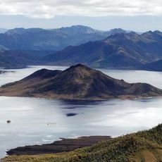
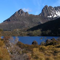
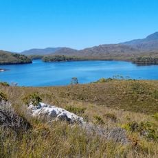
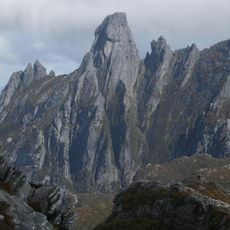
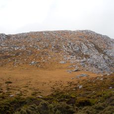
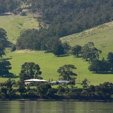
Scotts Peak is a 669-meter summit in Southwest Tasmania, located east of the Frankland Range. The peak rises above the waters of Lake Pedder within Southwest National Park and serves as a notable reference point for those exploring the remote terrain on foot.
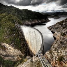
The original Lake Pedder in this region was substantially altered when a dam was constructed for hydroelectric power generation. The flooding of the valley transformed the landscape and changed the topography surrounding the mountain.
The peak and the dam and road named after it take their name from the mountain itself, and the flooded reservoir now surrounds the summit, so kayakers paddle across Lake Pedder before climbing. The mountain is snow-covered at times even in summer, and rain falls on about 269 days a year.
Most hikers reach the summit either from Scotts Peak Dam Road or by using a boat across the reservoir as a starting point for the ascent. The route is demanding and requires good preparation and solid hiking experience.
The flooding of Lake Pedder turned Scotts Peak into an island: the summit now rises from water on all sides, and the dam and the unpaved road leading to it both carry its name. Kayakers cross the reservoir to reach the foot of the mountain.
The community of curious travelers
AroundUs brings together thousands of curated places, local tips, and hidden gems, enriched daily by 93,359 contributors worldwide.