
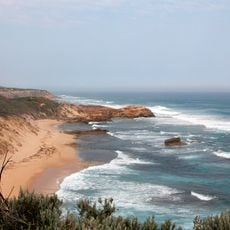
St Pauls Beach, Strand in Australien
Location: Victoria
Elevation above the sea: 9 m
GPS coordinates: -38.35306,144.73500
Latest update: April 29, 2025 01:03
Cheviot Beach
7.4 km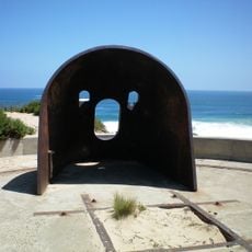
Fort Nepean
9.1 km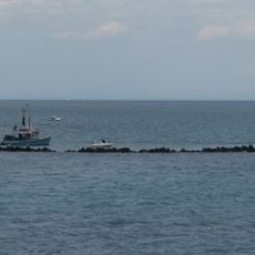
Pope's Eye
9 km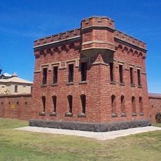
Fort Queenscliff
11.1 km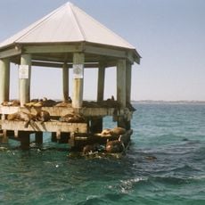
Chinaman's Hat
7.5 km
Bellarine Railway
12.1 km
Mornington Peninsula National Park
19.5 km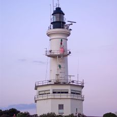
Point Lonsdale Lighthouse
12.6 km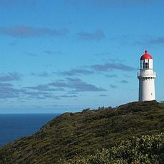
Cape Schanck Lighthouse
20.4 km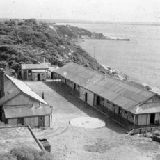
Fort Pearce
8.5 km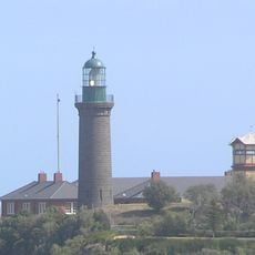
Queenscliff High Light
11.1 km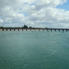
Barwon Heads Bridge
22.3 km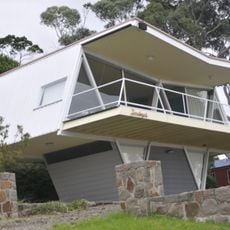
McCraith House
19.6 km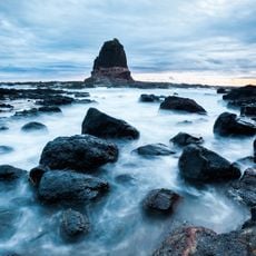
Pulpit Rock
21.2 km
St Andrews Beach House
11.7 km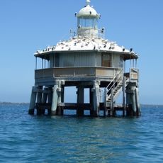
South Channel Pile Light
5.7 km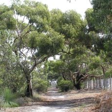
Ocean Grove Nature Reserve
21.6 km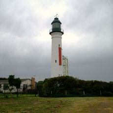
Queenscliff Low Light
11 km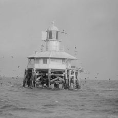
West Channel Pile Light
17.9 km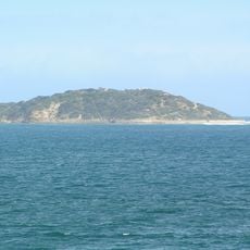
Point Nepean National Park
9.2 km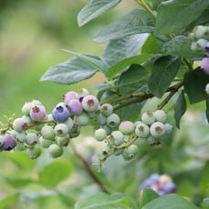
Tuckerberry Hill Blueberry Farm
22 km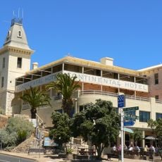
Continental Hotel
1.6 km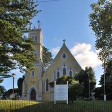
St George the Martyr church
11.8 km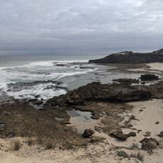
Dimmicks Beach
4.8 km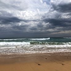
Gunnamatta Beach
16.7 km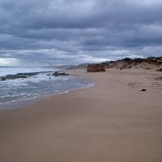
St Andrews Beach
12.1 km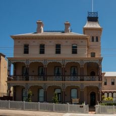
Ozone Hotel
11.4 km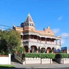
Queenscliff Hotel
11.5 kmReviews
Visited this place? Tap the stars to rate it and share your experience / photos with the community! Try now! You can cancel it anytime.
Discover hidden gems everywhere you go!
From secret cafés to breathtaking viewpoints, skip the crowded tourist spots and find places that match your style. Our app makes it easy with voice search, smart filtering, route optimization, and insider tips from travelers worldwide. Download now for the complete mobile experience.

A unique approach to discovering new places❞
— Le Figaro
All the places worth exploring❞
— France Info
A tailor-made excursion in just a few clicks❞
— 20 Minutes