City of Wyndham, Municipal administrative district in Victoria, Australia
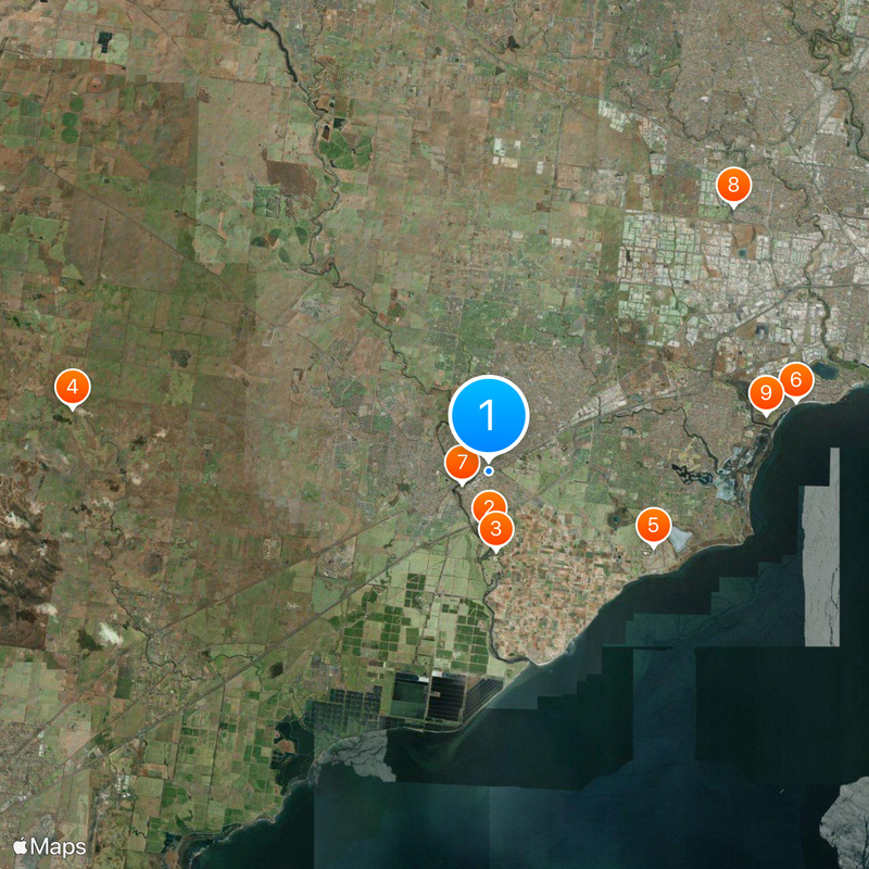
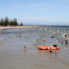
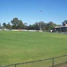
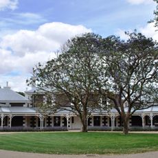
This administrative zone spans the outer south-western suburbs of Melbourne and contains residential neighborhoods, commercial areas, and green spaces mixed together. The landscape reflects typical modern suburban development with single-family homes, local shopping centers, and transport links connecting different parts of the region.
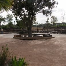
This area was established as Wyndham District in 1862 and gradually transformed from farmland into a major residential zone. The shift from agricultural use to suburban housing happened over many decades, shaping the region into what it is today.
The council maintains international partnerships with Changzhou, Costa Mesa, and Chiryū, reflecting global connections through shared cultural programs and exchanges. These relationships shape how the municipality views itself and communicates with the wider world, though visitors rarely encounter them directly.
Most people traveling through the area can find local shops, schools, and recreational facilities distributed throughout the zone. The best time to explore is during regular business hours when services are fully available and the neighborhoods are active.
The area experienced exceptional population growth rates at one point, standing out as one of Victoria's fastest-growing regions. This rapid expansion significantly shaped how local infrastructure and community services developed.
Location: Victoria
Location: Melbourne
Capital city: Werribee
Elevation above the sea: 29 m
Shares border with: City of Greater Geelong, Shire of Moorabool, City of Melton, City of Brimbank, City of Hobsons Bay
Website: https://wyndham.vic.gov.au
GPS coordinates: -37.90000,144.66667
Latest update: December 20, 2025 14:55
Photo license: CC BY-SA 2.0
Werribee Open Range Zoo
2.5 km
Werribee Park
3.5 kmWurdi Youang
18.6 km
RAAF Museum
8 km
Altona Beach
13.9 km
Chirnside Park
1.3 kmKororoit Creek Trail
15.9 km
Truganina Explosives Reserve
12.5 kmOfficers Mess - RAAF Williams Laverton Base
9.4 kmPoint Cook Metropolitan Park
11.3 kmPresidents Park
3.2 kmWerribee Park Mansion Gardens
3.7 kmWoodville Park
2.8 kmOne Tree Hill
17.7 kmPoint Cook Air Base
8.3 kmWerribee Satellite Aerodrome
2.3 kmSanctuary Lakes Resort
8.9 kmPoint Cook Air Base - Museum & Heritage Precincts
7.9 kmPoint Cook Homestead and Stables
11.4 kmCallanan's Chemist
337 mCrossroads Uniting Church
433 mState Research Farm
1.5 kmRAAF Williams Laverton - Eastern Hangars and West Workshops Precincts
8.5 kmPoint Cook Air Base - College & Training Area
7.7 kmRothwell Bridge
16.3 km
Eynesbury Homestead
15 kmWater Tank
6.3 kmGeodetic Survey Baseline
3.2 kmVisited this place? Tap the stars to rate it and share your experience / photos with the community! Try now! You can cancel it anytime.
Discover hidden gems everywhere you go!
From secret cafés to breathtaking viewpoints, skip the crowded tourist spots and find places that match your style. Our app makes it easy with voice search, smart filtering, route optimization, and insider tips from travelers worldwide. Download now for the complete mobile experience.
A unique approach to discovering new places❞
— Le Figaro
All the places worth exploring❞
— France Info
A tailor-made excursion in just a few clicks❞
— 20 Minutes