Malvern East, Administrative division in City of Stonnington, Australia.
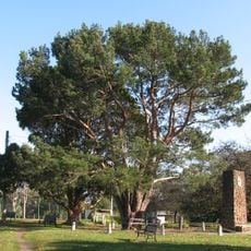
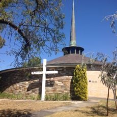
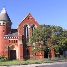
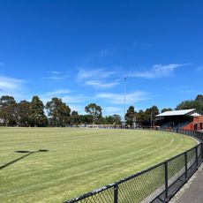
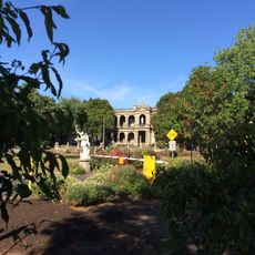
Malvern East is a residential suburb stretching between Punt Road and Warrigal Road, with neighborhoods mixed throughout with parks and local shops. The area features a blend of family homes, public green spaces, and small commercial zones spread across the district.
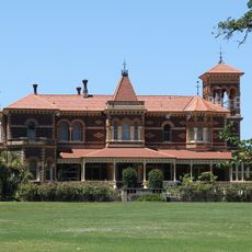
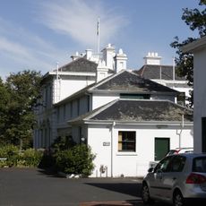
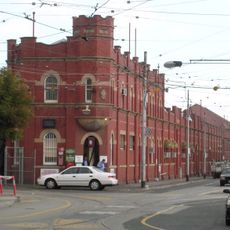
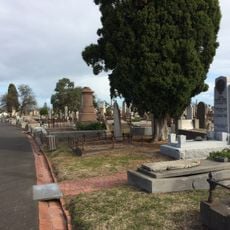
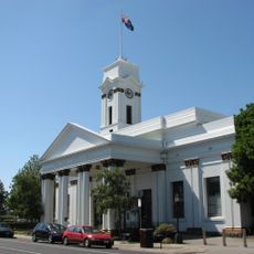
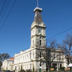
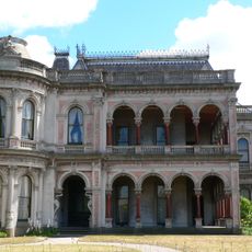
The area began as farmland in the 1800s before becoming a suburban neighborhood after Prahran Municipality was established in 1855. Growth accelerated in the 20th century as Melbourne expanded and more residents moved to the developing suburbs.
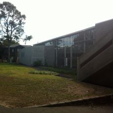
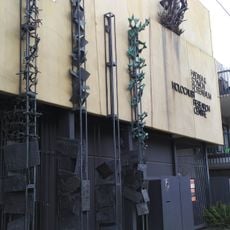
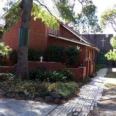
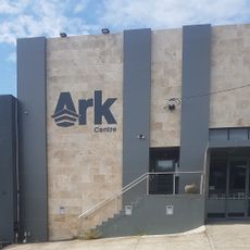
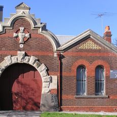
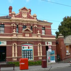
The area hosts community centers where locals gather for classes, events, and social programs throughout the year. These spaces serve as meeting points that bring neighbors together and support the rhythm of daily life.
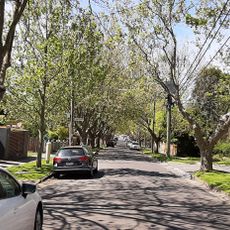
The suburb connects well to greater Melbourne through three railway lines and numerous tram routes serving the area. This transport network makes it straightforward for visitors to navigate and reach nearby neighborhoods.
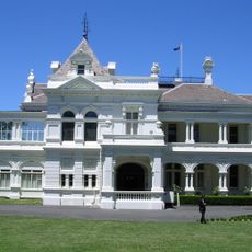
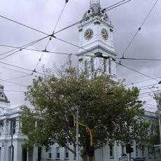
The locality is part of the City of Stonnington, which holds the highest property values of any council area in Victoria. This distinction shapes the character and quality of the neighborhood you walk through.
The community of curious travelers
AroundUs brings together thousands of curated places, local tips, and hidden gems, enriched daily by 60,000 contributors worldwide.