Enable Location

We need your location to show you interesting places around you

Discover nearby places

Find interesting locations and hidden gems around you

Precise directions

Get accurate directions and distances to places

Your location is never shared with other users. It's only used when you tap the location button.

City of Stonnington

Log in to your account

Start exploring — it's free

Trusted by 61,656 travelers worldwide

Continue with Google
Continue with Apple
or

We will send you a code to connect

By continuing, you accept our Terms and Conditions and our Privacy Policy

Check your inbox

We've sent a pincode in your inbox. Please enter the code below.

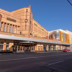
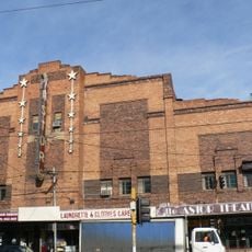
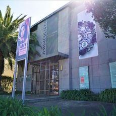
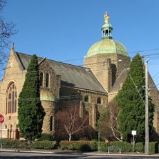
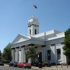
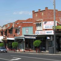
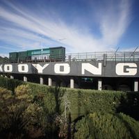
City of Stonnington, Local government district in Melbourne, Australia

Description

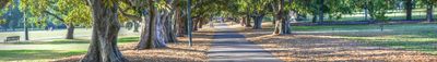
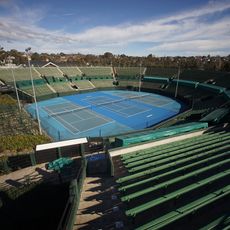
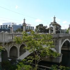
The City of Stonnington is a local government district in Melbourne spanning approximately 25.7 square kilometers, bounded by Punt Road to the west and Warrigal Road to the east. The Yarra River forms its northern boundary and defines a major geographic feature of the area.

History

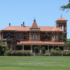
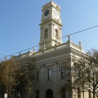
The district was formed in 1994 through the merger of the Municipalities of Prahran and Malvern, both established during the 1850s. This consolidation brought together two historically separate municipalities into the current administrative structure.

Culture

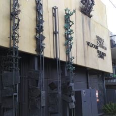
The land originally belonged to the Wurundjeri people of the Kulin nation, whose connection to the area is reflected in local place names and heritage sites. Visitors can encounter this Indigenous heritage woven throughout the neighborhoods and their histories.

Practical

The council provides various services for residents including waste management, parking permits, and community programs available through multiple locations. To learn about specific programs or find assistance, visitors should contact the local council offices or check their online resources.

Did you know?

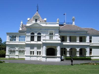
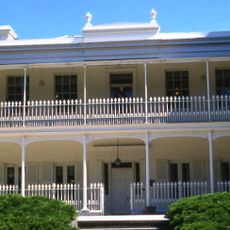
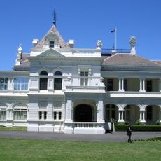
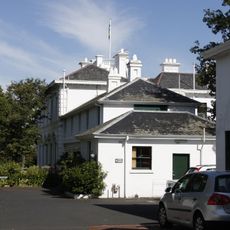
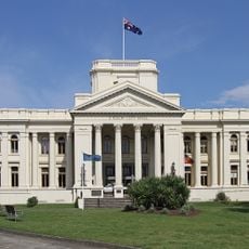
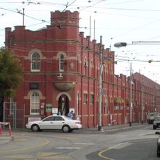
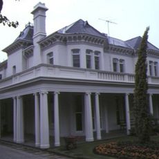
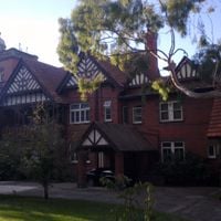
The name comes from Stonington mansion, built in 1890 and named after Connecticut, the birthplace of the builder's wife. This unexpected American connection is rarely found in Melbourne's urban history.

Location
Location
Inception
1994
Capital city
Malvern
Elevation above the sea
49 m
Shares border with
City of Yarra, City of Melbourne, City of Port Phillip, City of Boroondara, City of Monash, City of Glen Eira
GPS coordinates
-37.85625,145.02956
Latest update
December 7, 2025 10:08

AroundUs brings together thousands of curated places, local tips, and hidden gems, enriched daily by 60,000 contributors worldwide. Discover all places nearby (Melbourne).

« City of Stonnington - Local government district in Melbourne, Australia » is provided by Around Us (aroundus.com). Images and texts are derived from Wikimedia project under a Creative Commons license. You are allowed to copy, distribute, and modify copies of this page, under the conditions set by the license, as long as this note is clearly visible.

Discover hidden gems everywhere you go!

From secret cafés to breathtaking viewpoints, skip the crowded tourist spots and find places that match your style. Our app makes it easy with voice search, smart filtering, route optimization, and insider tips from travelers worldwide. Download now for the complete mobile experience.

Around Us App Screenshot

A unique approach to discovering new places

Le Figaro

All the places worth exploring

France Info

A tailor-made excursion in just a few clicks

20 Minutes

Around Us
Travel Guide & Maps
Download

Send to your phone

QR Code
1

Open the camera app on your mobile.

2

Point at the QR code with your camera. A notification will appear.

3

Tap the notification to open the link.