
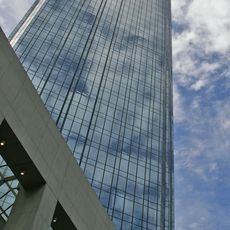
Former Amp Building, Kulturdenkmal in Australien
Location: City of Melbourne
GPS coordinates: -37.81750,144.96100
Latest update: March 10, 2025 15:49
Rialto Towers
281 m
Block Arcade
325 m
140 William Street
283 m
APA Building
266 m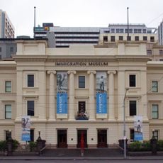
Immigration Museum
200 m
Sandridge Bridge
433 m
Melbourne Savage Club
98 m
385 Bourke Street
348 m
Queens Bridge
331 m
Optus Centre
91 m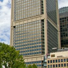
National Bank House
327 m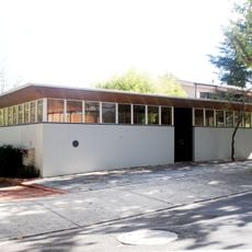
Roy Grounds House
78 m
AMP Square
323 m
Alkira House
142 m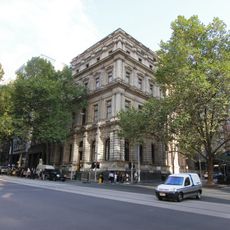
Former Bank of Australasia
91 m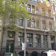
Lombard Building
136 m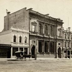
The Bank Of New South Wales Building, 1856
169 m
Alston's Corner
327 m
AON Centre (Royal Insurance Building)
93 m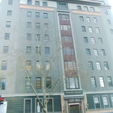
Orion House
170 m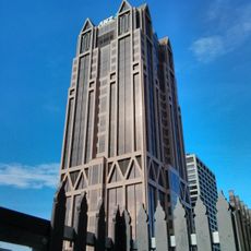
ANZ World Headquarters
168 m
Yarra Trams
320 m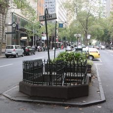
Underground toilets
98 m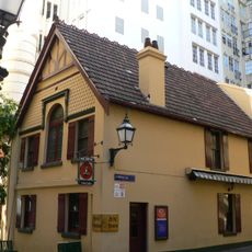
Mitre Tavern
97 m
Queensland Building
181 m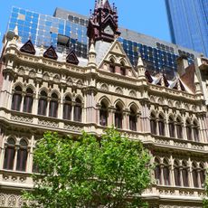
Olderfleet Building
270 m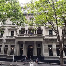
The Australian Club
197 m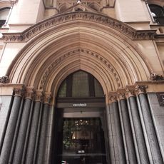
Former National Mutual Life Association Building
22 mReviews
Visited this place? Tap the stars to rate it and share your experience / photos with the community! Try now! You can cancel it anytime.
Discover hidden gems everywhere you go!
From secret cafés to breathtaking viewpoints, skip the crowded tourist spots and find places that match your style. Our app makes it easy with voice search, smart filtering, route optimization, and insider tips from travelers worldwide. Download now for the complete mobile experience.

A unique approach to discovering new places❞
— Le Figaro
All the places worth exploring❞
— France Info
A tailor-made excursion in just a few clicks❞
— 20 Minutes