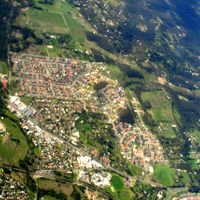
City of Casey, Local government area in southeastern Melbourne, Australia
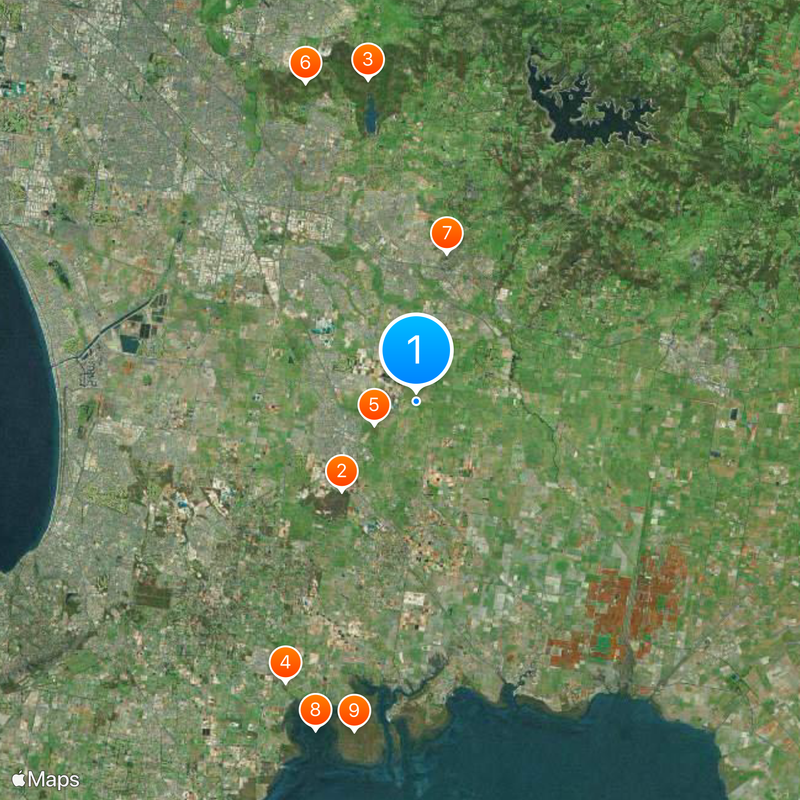
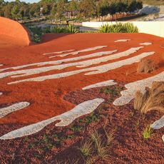
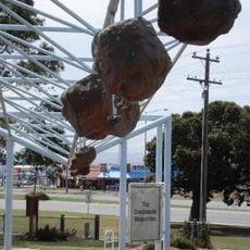
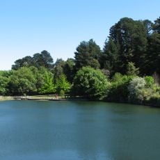
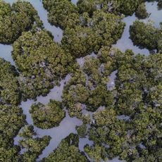
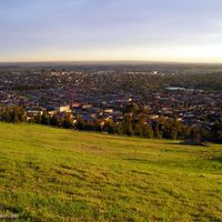
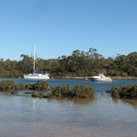
The City of Casey is a local government area in southeastern Melbourne that extends from the Dandenong Ranges to Western Port Bay. The region contains farmland, residential neighborhoods, and protected natural areas organized under six administrative wards.
The area was formed in 1994 through the merger of Berwick City, parts of Cranbourne Shire, and a section of Knox City's Churchill Park estate. This combination brought together several smaller councils into a single larger administrative unit.
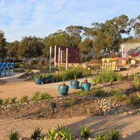
Community centers throughout the municipality host regular programs and events that reflect the diverse backgrounds of residents from many countries. These spaces serve as gathering points where local artists and performers share their work with neighbors.
The area is best explored by car, as many parts are not densely built and public transportation can be limited in some areas. Plan extra time for travel between neighborhoods depending on what you want to visit.
The area is home to more than 365,000 people from many different countries, making it one of the most culturally varied districts in the region. This large and internationally diverse population shapes the character of many neighborhoods across the locality.
The community of curious travelers
AroundUs brings together thousands of curated places, local tips, and hidden gems, enriched daily by 60,000 contributors worldwide.