Capital City Trail, Shared-use path network in Melbourne, Australia
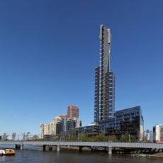
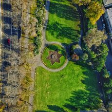
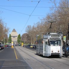
The Capital City Trail forms a closed loop of roughly 30 kilometers (18.5 miles) connecting parks, rivers, and neighborhoods in the center and inner suburbs. The route runs mainly on paved surfaces along the Yarra River, through green spaces, and beside urban waterfronts.
Parts of the route follow the former Inner Circle Railway, which connected suburbs and industrial areas in the early 20th century. After the railway closed, several sections were adapted for cyclists and pedestrians.
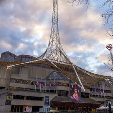
The name reflects the route's path through the city center, where runners and cyclists appear frequently during morning and evening hours. Local residents use individual sections for their daily commute or as a training route after work.
Drinking fountains appear regularly about every two kilometers along the route, offering opportunities to refill water bottles. The surface suits regular bicycles and strollers, while some sections narrow and require shared attention.
The route crosses at Dights Falls where Merri Creek flows into the Yarra and both waterways meet. In this section, cormorants and herons often appear along the banks searching for fish.
The community of curious travelers
AroundUs brings together thousands of curated places, local tips, and hidden gems, enriched daily by 60,000 contributors worldwide.