
Former Municipal Stables, Kulturdenkmal in Australien
Location: City of Stonnington
GPS coordinates: -37.84240,144.99700
Latest update: March 26, 2025 23:40
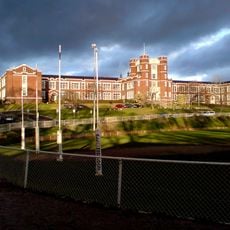
Melbourne High School
802 m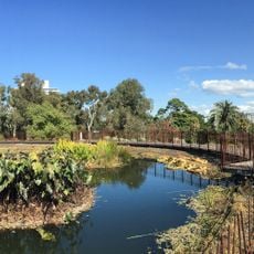
Royal Botanic Gardens Victoria
1.8 km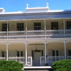
Como House
780 m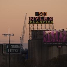
Nylex Clock
1.6 km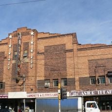
Astor Theatre, St Kilda
1.8 km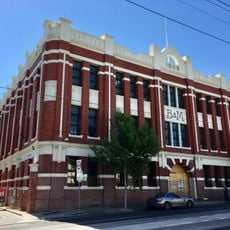
Bryant and May Factory
1.5 km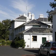
Toorak House
1.9 km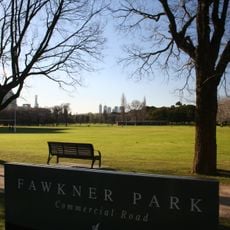
Fawkner Park
1.3 km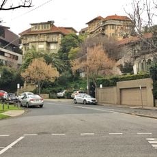
Beverley Hills Apartment Block
993 m
Walsh Street House
1.6 km
Australian Queer Archives
1.9 km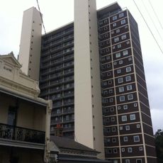
Domain Park Flats
1.5 km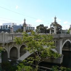
Church Street Bridge
924 m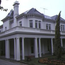
Airlie
1.3 km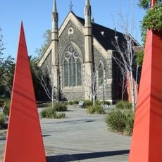
Chapel Off Chapel
631 m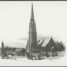
Christ Church, South Yarra
1.1 km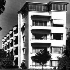
Newburn Flats
1.9 km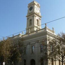
Prahran Town Hall
885 m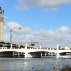
Hoddle Bridge
1.6 km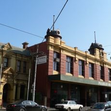
Prahran Mechanics' Institute
953 m
MARS Melbourne Art Rooms
1.4 km
Inglesby
1.1 km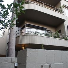
Yarrabee Flats
1.2 km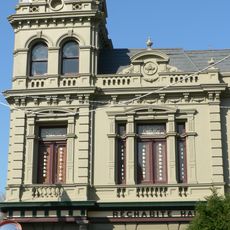
Rechabite Hall
638 m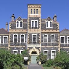
Royal Victorian Institute for the Blind
1.5 km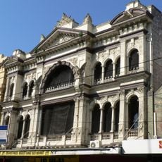
Prahran Arcade
749 m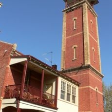
Prahran Fire Station
920 m
Mandeville Hall
1.7 kmReviews
Visited this place? Tap the stars to rate it and share your experience / photos with the community! Try now! You can cancel it anytime.
Discover hidden gems everywhere you go!
From secret cafés to breathtaking viewpoints, skip the crowded tourist spots and find places that match your style. Our app makes it easy with voice search, smart filtering, route optimization, and insider tips from travelers worldwide. Download now for the complete mobile experience.

A unique approach to discovering new places❞
— Le Figaro
All the places worth exploring❞
— France Info
A tailor-made excursion in just a few clicks❞
— 20 Minutes