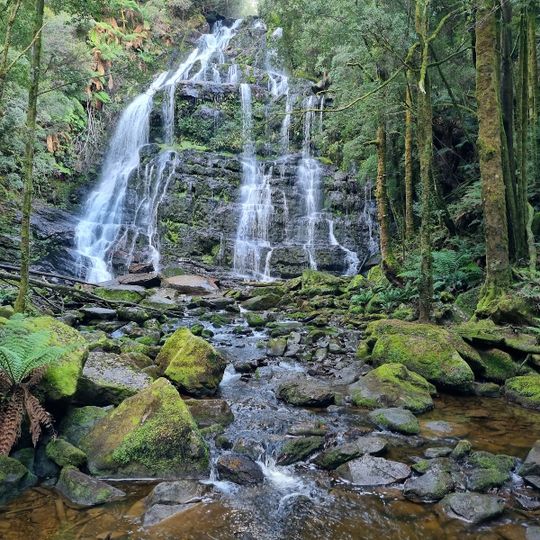
Franklin-Gordon Wild Rivers National Park, Nature reserve in western Tasmania, Australia
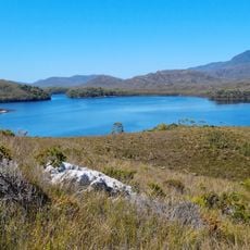
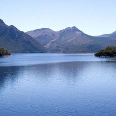
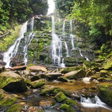
Franklin-Gordon Wild Rivers National Park is a nature reserve in southwestern Tasmania that centers on two major river systems, the Franklin and Gordon, which flow through deep gorges carved into the landscape. The park encompasses roughly 4,500 square kilometers and combines dense forests, steep valleys, and waterways that define the character of this remote region.
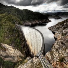
The park was established as a protected area in 1908, but gained international prominence in the 1980s when environmental campaigns successfully blocked the proposed Franklin Dam construction. This movement became a turning point in conservation efforts, making the river and surrounding landscape symbols of wilderness protection.
Indigenous communities have deep ties to these lands, with archaeological sites scattered throughout showing occupation dating back to the ice age. These cultural connections remain active today, shaping how people understand and relate to the wilderness.
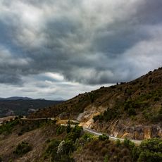
Access to the park is primarily via the Lyell Highway, which cuts through this remote landscape and serves as the main route through the region. Visitors should prepare for rough weather and limited facilities, as the park is sparsely developed and far from urban services.
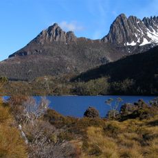
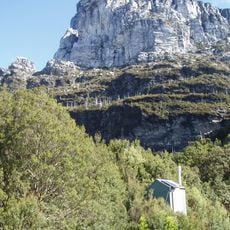
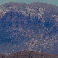
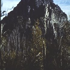
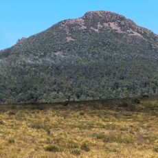
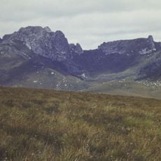
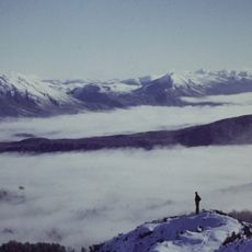
The park began as Frenchmans Cap National Park, named for the quartzite peak whose white summit is visible on the skyline from the west and north. The Franklin River formed its northern and western boundary. The park's present name comes from the two rivers inside it, the Franklin and the Gordon.
The community of curious travelers
AroundUs brings together thousands of curated places, local tips, and hidden gems, enriched daily by 93,374 contributors worldwide.