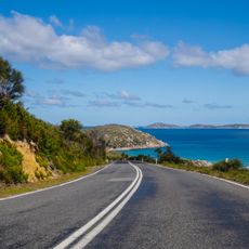
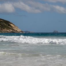
Shallow Inlet, Tidal inlet in South Gippsland, Australia
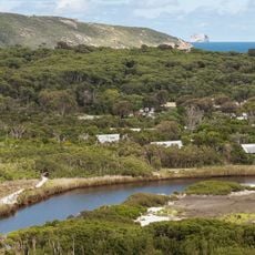
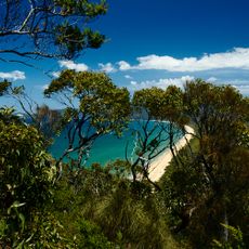
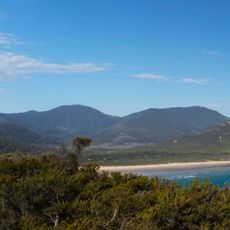
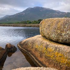
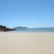
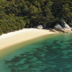
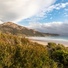
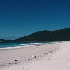
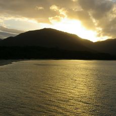
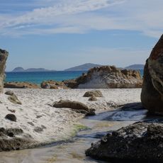
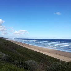
Shallow Inlet is a shallow, curving tidal embayment of 18 km2 on the western side of the Yanakie Isthmus in South Gippsland, opening onto Waratah Bay through a single channel to the sea. A barrier of sandy spits, bars and mobile dunes encloses it on the seaward side, and intertidal mudflats and sand, fringed by saltmarsh, lie within.
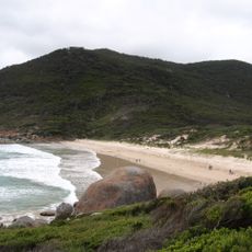
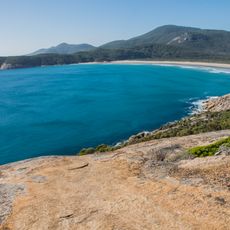
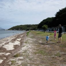
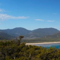
Shallow Inlet lies on the western side of the Yanakie Isthmus in South Gippsland, near Sandy Point, Yanakie and Wilsons Promontory National Park. Its shallow, curving 18 km2 tidal embayment has a single channel to the sea, enclosed on the seaward side by sandy spits, bars and mobile dunes. Intertidal mudflats and sand provide habitat for waders, with saltmarsh fringing the mudflats.
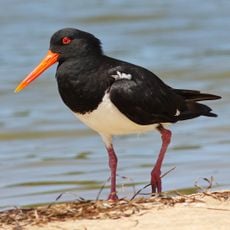
Shallow Inlet is one of the sites where the critically endangered orange-bellied parrot has been recorded, feeding on the saltmarsh that fringes the mudflats. BirdLife International lists the inlet as an Important Bird Area because it holds over 1% of the world populations of double-banded plovers and red-necked stints.
Shallow Inlet has a single channel connecting its 18 km2 tidal embayment to Waratah Bay, so boat access is limited to that entrance. The intertidal mudflats and sandbars are exposed at low tide, and the mobile dunes on the seaward side shift with wind and waves. The inlet lies beside Sandy Point and Yanakie, near Wilsons Promontory National Park.
The inlet holds Important Bird Area status and supports over 1% of global populations of double-banded plovers and red-necked stints. This makes it a notable destination for birdwatchers visiting the region.
The community of curious travelers
AroundUs brings together thousands of curated places, local tips, and hidden gems, enriched daily by 94,547 contributors worldwide.