Wilsons Promontory National Park, National park and nature reserve in Victoria, Australia
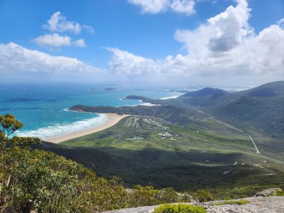
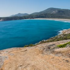
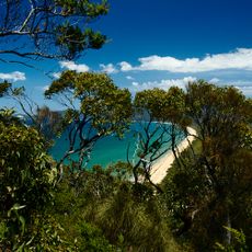
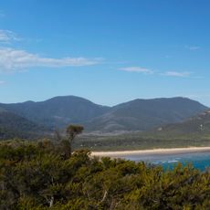
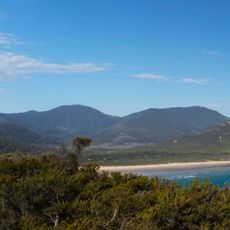
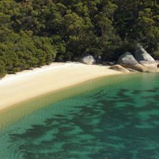
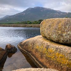
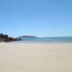
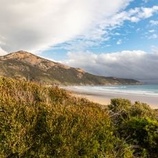
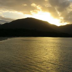
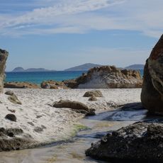
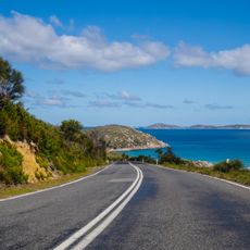
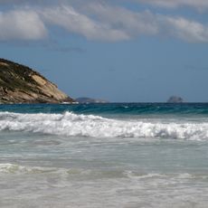
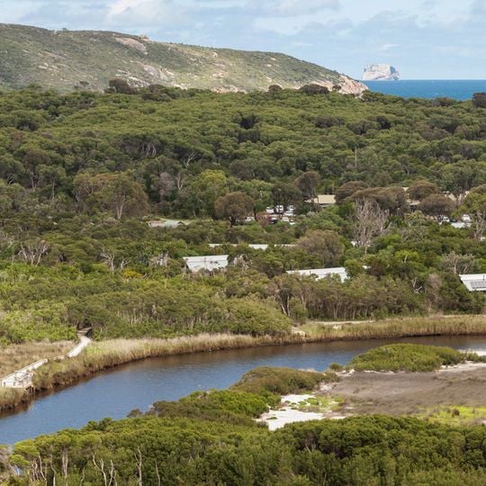
Wilsons Promontory National Park is a national park and nature reserve in Victoria, Australia, covering a peninsula at the southernmost point of the Australian mainland. The landscape shifts between tall granite peaks that drop to the ocean, sandy coves with turquoise water, and dense eucalyptus woodland rolling across ridgelines.
The Brataualung clan of the Koori people lived on the peninsula for at least 6,500 years before European arrival, leaving middens along the western coast. George Bass sighted the promontory in January 1798. After a public campaign in the 1880s and 1890s, it became a national park in 1898. A commando training ground during World War II, it is marked by a memorial at Tidal River.
Governor Hunter named the promontory in 1798 on the recommendation of Matthew Flinders and George Bass, honouring Thomas Wilson, a wealthy London apothecary and patron of natural history, not a merchant. Traditional owner groups also call it Yiruk or Wamoon, and the Brataualung clan considers it the home of the spirit ancestor Loo-errn.
Most walking tracks start from the main camping area at Tidal River, where trails of varying length and difficulty lead into different parts of the peninsula. Coastal routes can be demanding in strong wind, while forest paths offer shade even on hot days.
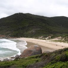
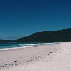
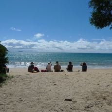
Squeaky Beach on the eastern shore earns its name from fine quartz sand that squeaks underfoot when walked on. Off the southern coast, the largest fur seal colony in Australia lives on rocky islands visible through binoculars from the mainland.
The community of curious travelers
AroundUs brings together thousands of curated places, local tips, and hidden gems, enriched daily by 94,302 contributors worldwide.