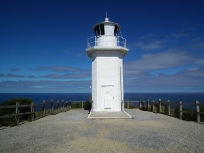
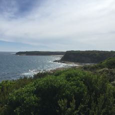
Cape Liptrap Lighthouse, Coastal lighthouse in South Gippsland Shire, Australia.
Cape Liptrap Lighthouse stands on a rocky headland about 93 meters above sea level with a white octagonal concrete tower. The structure operates with an automated light system that guides vessels through the surrounding waters.
The original structure was built in 1913 as a steel tower with an acetylene light to warn passing ships. In 1951 it was replaced with a concrete tower that still operates today.
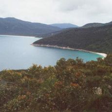
The name comes from the geographical features of the headland itself, and the structure serves as a familiar reference point for people navigating these waters. Over time it has become a landmark that helps both locals and visitors orient themselves along this stretch of coastline.
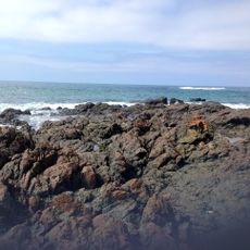
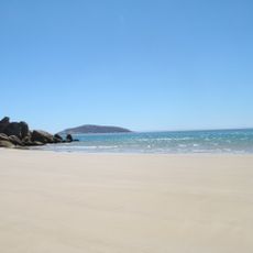
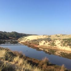
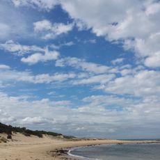
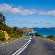
You can reach the lighthouse by driving along South Walkerville Road and Cape Liptrap Road, with open access to the surrounding reserve. Be prepared for changeable weather conditions since the site sits directly on the exposed coastline.
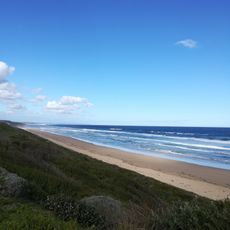
The light flashes in a rhythm of about 12 seconds and is visible from great distances to guide ships safely through the difficult waters of Bass Strait. This regular rhythm is a proven navigation system that helps seafarers identify the exact position of the cape.
The community of curious travelers
AroundUs brings together thousands of curated places, local tips, and hidden gems, enriched daily by 60,000 contributors worldwide.