Enable Location

We need your location to show you interesting places around you

Discover nearby places

Find interesting locations and hidden gems around you

Precise directions

Get accurate directions and distances to places

Your location is never shared with other users. It's only used when you tap the location button.

Anderson Inlet

Log in to your account

Join the adventure

Create your free account and start exploring (like 60k+ others)

We will send you a code to connect

or
Continue with Google
Continue with Apple
By continuing, you accept our Terms and Conditions and our Privacy Policy

Check your inbox

We've sent a pincode in your inbox. Please enter the code below.

Anderson Inlet

Anderson Inlet, Coastal inlet in South Gippsland, Victoria, Australia.

Description

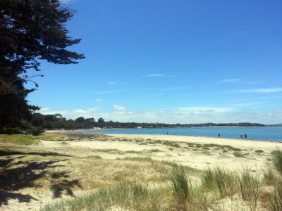
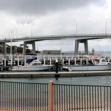
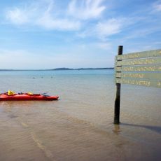
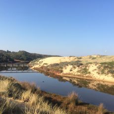
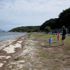
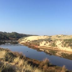
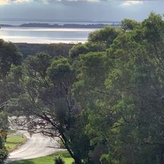
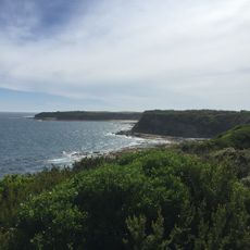
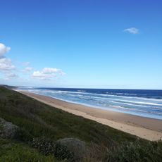
Anderson Inlet is a shallow estuary where the Tarwin River meets Bass Strait near the town of Inverloch. The waterway covers roughly 2,400 hectares and is surrounded by coastal landscape with boat access points at Inverloch and Maher's Landing.

History

The inlet was named after Samuel Anderson, an early European settler in the area, though Indigenous Australians had used it as a fishing ground for many centuries before. The waterway has remained an important location for coastal communities across different periods.

Culture

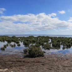
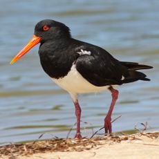
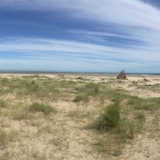
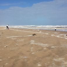
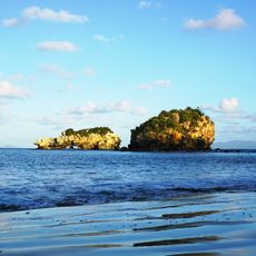
The inlet serves as a stopover point for migratory birds and a year-round refuge for local bird species, making it a significant location for those who watch and study birds. The open waters and shallow flats attract both casual observers and dedicated ornithologists.

Practical

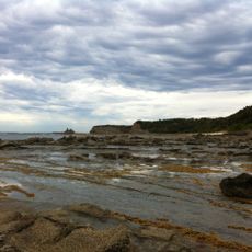
Explore this waterway by boat using the launch facilities at Inverloch or Maher's Landing for convenient access. Check tide tables before heading out, as low tide reveals extensive mudflats that affect navigation and water depth.

Did you know?

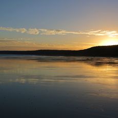
When the tide goes out, mudflats spread across much of the waterway, creating temporary feeding zones for wading birds on their migration journeys. This daily shifting landscape reveals hidden channels and shallow areas that are normally submerged.

Location
Part of
Bass Strait
GPS coordinates
-38.63330,145.78300
Latest update
December 12, 2025 16:42

AroundUs brings together thousands of curated places, local tips, and hidden gems, enriched daily by 60,000 contributors worldwide. Discover all places nearby (Victoria).

« Anderson Inlet - Coastal inlet in South Gippsland, Victoria, Australia » is provided by Around Us (aroundus.com). Images and texts are derived from Wikimedia project under a Creative Commons license. You are allowed to copy, distribute, and modify copies of this page, under the conditions set by the license, as long as this note is clearly visible.

Discover hidden gems everywhere you go!

From secret cafés to breathtaking viewpoints, skip the crowded tourist spots and find places that match your style. Our app makes it easy with voice search, smart filtering, route optimization, and insider tips from travelers worldwide. Download now for the complete mobile experience.

Around Us App Screenshot

A unique approach to discovering new places

Le Figaro

All the places worth exploring

France Info

A tailor-made excursion in just a few clicks

20 Minutes

Around Us
Travel Guide & Maps
Download

Send to your phone

QR Code
1

Open the camera app on your mobile.

2

Point at the QR code with your camera. A notification will appear.

3

Tap the notification to open the link.