
Yanakie, town in Victoria, Australia
Location: Shire of South Gippsland
GPS coordinates: -38.80198,146.19565
Latest update: April 8, 2025 02:47
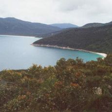
Wilsons Promontory National Park
29.1 km
Corner Inlet
12.6 km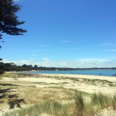
Anderson Inlet
40.5 km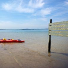
Shallow Inlet
4.2 km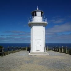
Cape Liptrap Lighthouse
26.5 km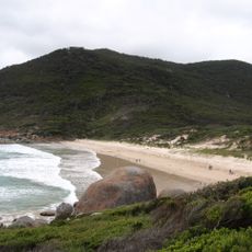
Squeaky Beach
26.6 km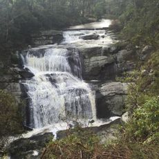
Agnes Falls
23.3 km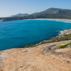
Norman Beach
27.1 km
Red Bluff Beach
3.6 km
Five Mile Beach
27.4 km
Mount Latrobe
27.1 km
Refuge Cove
35.4 km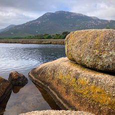
Mount Oberon
29.5 km
Mount Norgate
34.5 km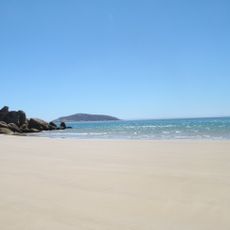
Darby Beach
19.6 km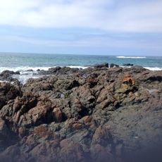
Maitland Beach
20.9 km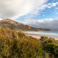
Little Oberon
29.4 km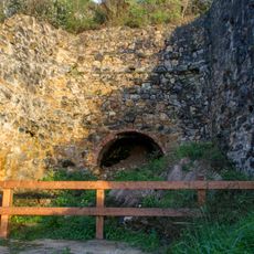
Walkerville Lime Kilns
18.3 km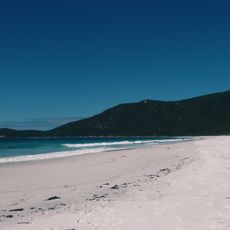
Beach, Little Waterloo Bay
36.1 km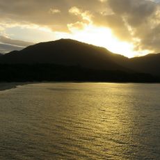
Sealers Cove
32.5 km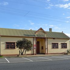
Tarwin Lower Mechanics Institute and Memorial Hall
30.8 km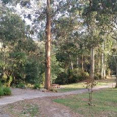
Agnes Falls Scenic Reserve
23.4 km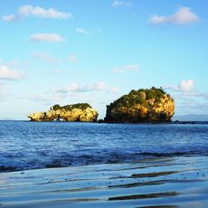
Cape Liptrap Coastal Park
22.1 km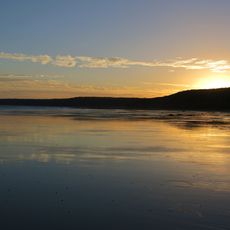
Waratah Bay
14 km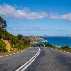
Wilsons Promontory National Park, Wilsons Promontory, Australia
21.2 km
Picnic Bay - Wilsons Promontory
25.3 km
Whisky Bay -Norman Island
24.7 km
Beach, Sailers Cove
31.5 kmReviews
Visited this place? Tap the stars to rate it and share your experience / photos with the community! Try now! You can cancel it anytime.
Discover hidden gems everywhere you go!
From secret cafés to breathtaking viewpoints, skip the crowded tourist spots and find places that match your style. Our app makes it easy with voice search, smart filtering, route optimization, and insider tips from travelers worldwide. Download now for the complete mobile experience.

A unique approach to discovering new places❞
— Le Figaro
All the places worth exploring❞
— France Info
A tailor-made excursion in just a few clicks❞
— 20 Minutes