Tumbarumba, parish of Selwyn County, New South Wales, Australia
Location: Selwyn
Location: Tumbarumba Shire
GPS coordinates: -35.86500,148.03444
Latest update: March 16, 2025 22:04
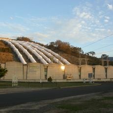
Snowy Mountains Scheme
58.3 km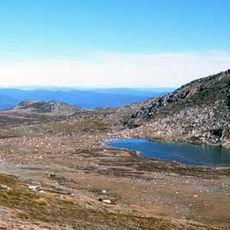
Kosciuszko National Park
30.8 km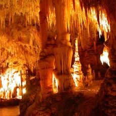
Yarrangobilly Caves
44.1 km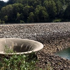
Geehi Dam
54.6 km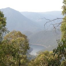
Talbingo Dam
36.8 km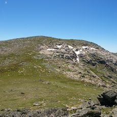
Mount Twynam
64 km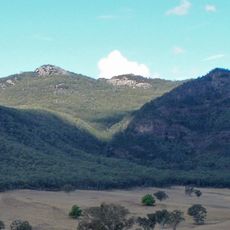
Pine Mountain
25.6 km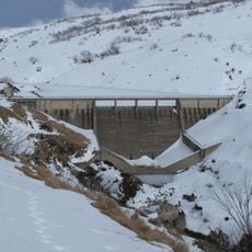
Guthega Dam
64.8 km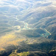
Tumut Pondage
41.3 km
Jounama Dam
41.7 km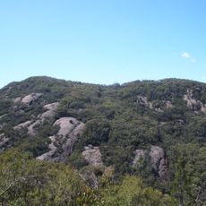
Burrowa - Pine Mountain National Park
38.4 km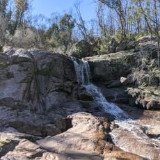
Woomargama National Park
50.3 km
Adelong Falls Gold Workings
63.8 km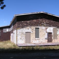
Kiandra Courthouse
41.6 km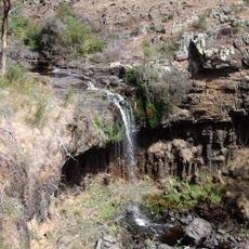
Paddys River Falls
7.3 km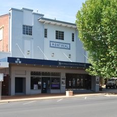
Montreal Community Theatre
65.1 km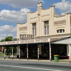
National Museum of Australian Pottery
67 km
Tumut Post Office
65 km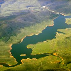
Tantangara Reservoir
57.1 km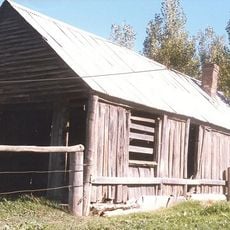
Coppabella Blacksmith Shop
31 km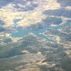
Tooma Reservoir
30.2 km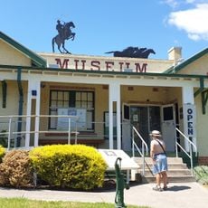
Man from Snowy River Museum
38.9 km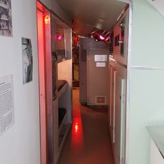
Holbrook Submarine Museum
66.9 km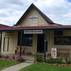
Tintaldra General Store
22.3 km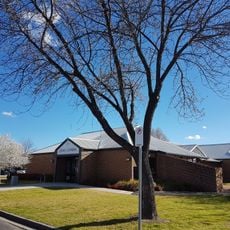
Holbrook Library
66.9 km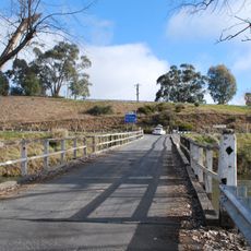
Towong Bridge
29 km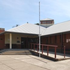
Tumut Library
64.8 km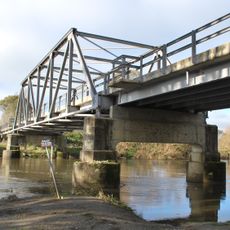
Tintaldra Bridge
22.1 kmReviews
Visited this place? Tap the stars to rate it and share your experience / photos with the community! Try now! You can cancel it anytime.
Discover hidden gems everywhere you go!
From secret cafés to breathtaking viewpoints, skip the crowded tourist spots and find places that match your style. Our app makes it easy with voice search, smart filtering, route optimization, and insider tips from travelers worldwide. Download now for the complete mobile experience.

A unique approach to discovering new places❞
— Le Figaro
All the places worth exploring❞
— France Info
A tailor-made excursion in just a few clicks❞
— 20 Minutes
