
Carabost State Forest
Location: New South Wales
Elevation above the sea: 506 m
GPS coordinates: -35.66667,147.70000
Latest update: March 28, 2025 01:20
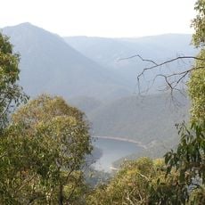
Talbingo Dam
54.7 km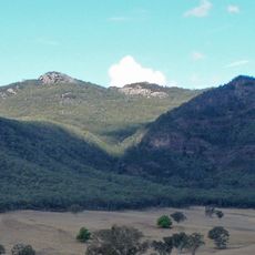
Pine Mountain
40.9 km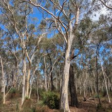
Livingstone National Park
45.3 km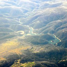
Tumut Pondage
62.5 km
Jounama Dam
56.1 km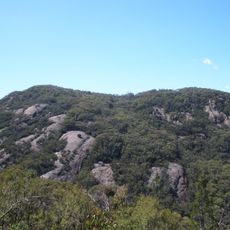
Burrowa - Pine Mountain National Park
48.3 km
RAAF Wagga Heritage Centre
61.3 km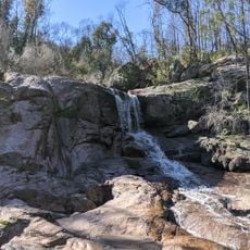
Woomargama National Park
30.7 km
Adelong Falls Gold Workings
52.8 km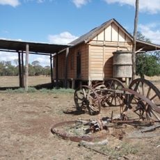
Westby
32.4 km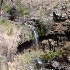
Paddys River Falls
43.2 km
Montreal Community Theatre
62.5 km
National Museum of Australian Pottery
35.7 km
Tumut Post Office
62.5 km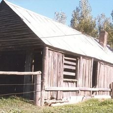
Coppabella Blacksmith Shop
8.9 km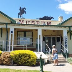
Man from Snowy River Museum
61.8 km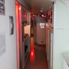
Holbrook Submarine Museum
35.2 km
Rawlings Park
62.3 km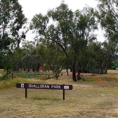
O'Halloran Park
64.1 km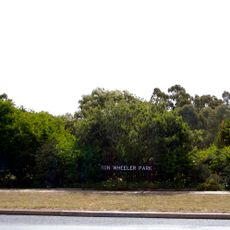
Ron Wheeler Park
62.8 km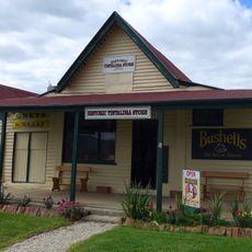
Tintaldra General Store
47.2 km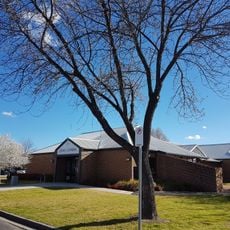
Holbrook Library
35.4 km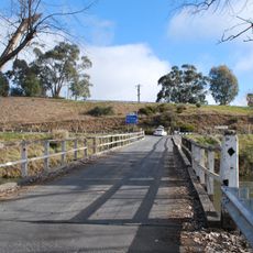
Towong Bridge
57.5 km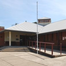
Tumut Library
62.2 km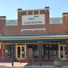
Culcairn Library
60.4 km
Henty Library
62.1 km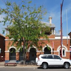
Tumut Post Office
62.5 km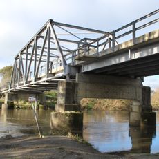
Tintaldra Bridge
47.1 kmReviews
Visited this place? Tap the stars to rate it and share your experience / photos with the community! Try now! You can cancel it anytime.
Discover hidden gems everywhere you go!
From secret cafés to breathtaking viewpoints, skip the crowded tourist spots and find places that match your style. Our app makes it easy with voice search, smart filtering, route optimization, and insider tips from travelers worldwide. Download now for the complete mobile experience.

A unique approach to discovering new places❞
— Le Figaro
All the places worth exploring❞
— France Info
A tailor-made excursion in just a few clicks❞
— 20 Minutes