
Kiama Downs, locality in New South Wales, Australia
Location: The Council of the Municipality of Kiama
GPS coordinates: -34.63778,150.85323
Latest update: August 17, 2025 10:58

Nan Tien Temple
19.1 km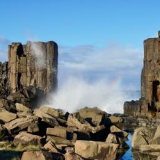
Bombo Headland Quarry Geological Site
1.7 km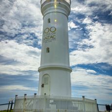
Kiama Light
3.9 km
Illowra Battery
17.3 km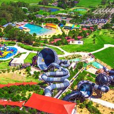
Jamberoo Action Park
6.8 km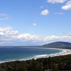
Seven Mile Beach
23.2 km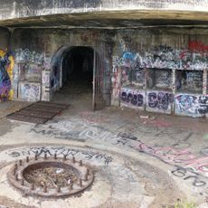
Hill 60, Port Kembla
17.8 km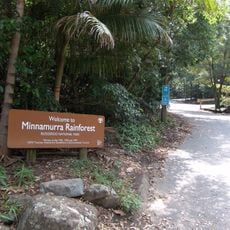
Budderoo National Park
18.3 km
Historical Aircraft Restoration Society
10.2 km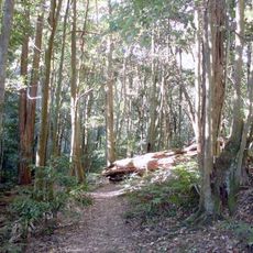
Macquarie Pass National Park
20.4 km
Illawarra Light Railway Museum
9.5 km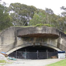
Drummond Battery
22.2 km
Bass Point Reserve
6.1 km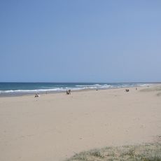
Seven Mile Beach National Park
22.6 km
HARS Aviation Museum
10.3 km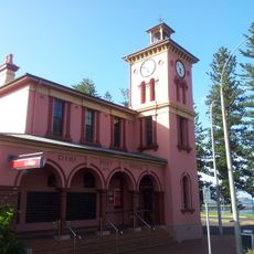
Kiama Post Office
3.8 km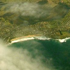
Jones Beach
295 m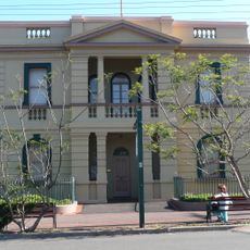
Old Wollongong East Post Office
23.9 km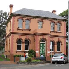
CBC Bank Building, Kiama
3.9 km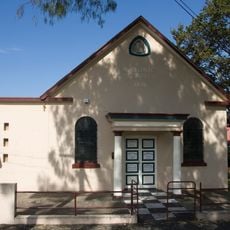
Kiama Masonic Temple
3.5 km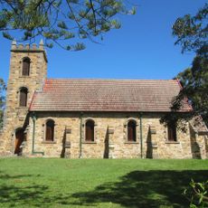
St Stephen's Presbyterian Church, Jamberoo
7.3 km
Scots Presbyterian Church, Kiama
3.6 km
Berry Museum
20.8 km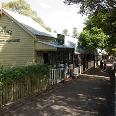
Collins Street wooden terraces, Kiama
3.4 km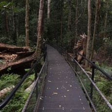
Minnamurra Rainforest
11.5 km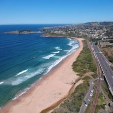
Bombo Beach
2 km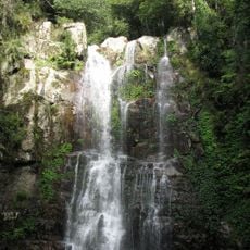
Minnamurra Falls
12.6 km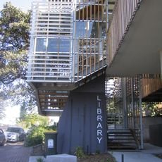
Kiama Municipal Library
3.7 kmReviews
Visited this place? Tap the stars to rate it and share your experience / photos with the community! Try now! You can cancel it anytime.
Discover hidden gems everywhere you go!
From secret cafés to breathtaking viewpoints, skip the crowded tourist spots and find places that match your style. Our app makes it easy with voice search, smart filtering, route optimization, and insider tips from travelers worldwide. Download now for the complete mobile experience.

A unique approach to discovering new places❞
— Le Figaro
All the places worth exploring❞
— France Info
A tailor-made excursion in just a few clicks❞
— 20 Minutes