Fiordland, Geographic region and natural park in Southland, New Zealand
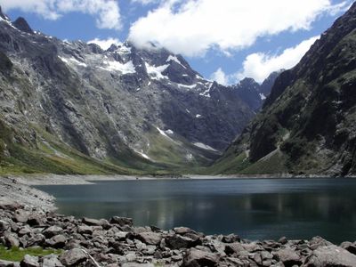
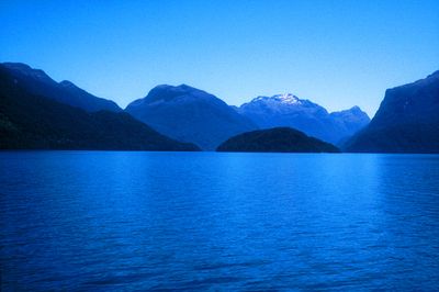
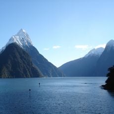
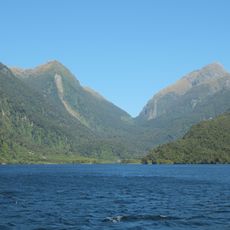
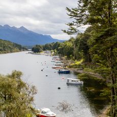
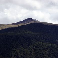
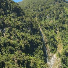
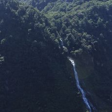
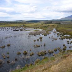
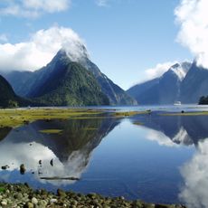
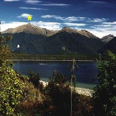
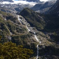
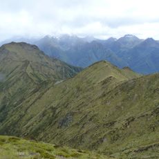
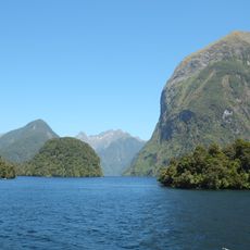
Fiordland is a geographic region in southwestern New Zealand shaped by twelve major fiords carved into U-shaped valleys by ancient glaciers. Dense temperate rainforest covers the steep terrain from high peaks down to the water's edge, creating a landscape of green cliffs and sheltered bays.
Captain James Cook first surveyed the coastline in 1770, charting the fiords and opening the area to European interest that would draw whalers and seal hunters throughout the following century. This early exploration marked the beginning of sustained European contact with the region.
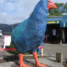
The Māori name Te Rua-o-te-Moko reflects the deep connection indigenous people maintained with this region for generations, harvesting greenstone and hunting across its valleys and waters. Today, visitors can experience this cultural legacy through local guides and the stories woven into the landscape itself.
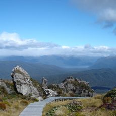
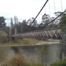
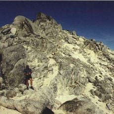
The Department of Conservation maintains numerous hiking trails through the national park, with many starting points accessible from Te Anau and other gateway towns. Pack waterproof gear and warm layers, as conditions can change quickly and rain is frequent throughout the year.
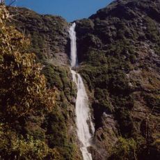
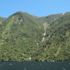
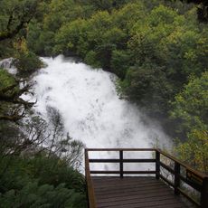
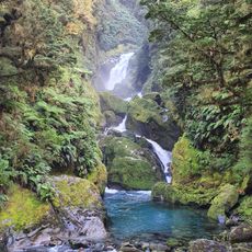
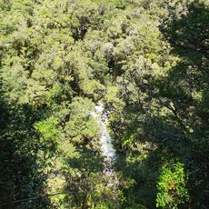
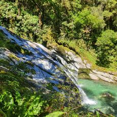
Some areas receive up to 200 rainy days annually due to prevailing westerly winds pushing moisture-laden air across the region. This exceptional rainfall creates powerful waterfalls that cascade from the cliffs into the sea and sustains the lush forest environment.
The community of curious travelers
AroundUs brings together thousands of curated places, local tips, and hidden gems, enriched daily by 60,000 contributors worldwide.