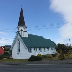
Lake Hauroko, Glacial lake in Southland Region, New Zealand
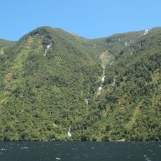
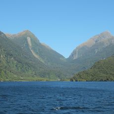
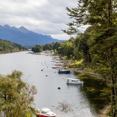
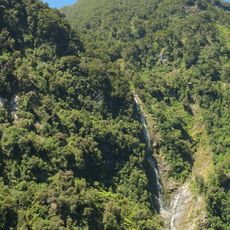
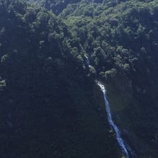
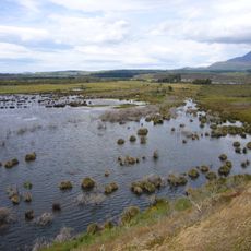
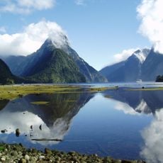
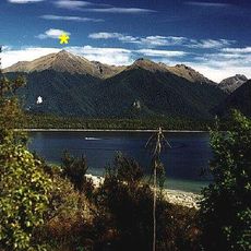
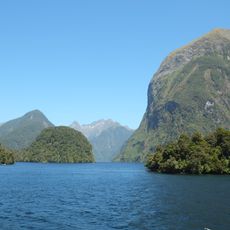
Lake Hauroko is an S-shaped glacial lake in Fiordland National Park, 32 kilometres long with a surface area of 65 square kilometres. Its surface lies about 155 metres above sea level, and it reaches a depth of 462 metres, making it New Zealand's deepest lake. Mary Island, about one square kilometre in size, sits in the water, with a smaller island near Teal Bay at the southern end.
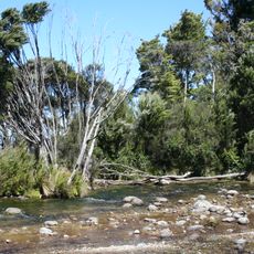
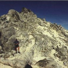
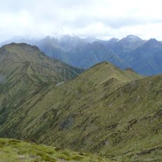
Lake Hauroko is a glacial lake formed near the Hauroko Fault, whose movements displaced rock by several kilometres. Its surrounding higher ground consists of Carboniferous granites and metamorphic rocks, including Hauroko granite dated to about 358 million years ago, while Eocene–Oligocene sediments of the Hauroko Formation lie to the southeast. The lake drains via the 20 km Wairaurāhiri River into Foveaux Strait.
Hauroko translates from te reo Māori as "soughing of the wind" or "sounding wind"; before 1930 the lake was also called Lake Hauroto. Ngā Puna Wai Karikari o Rakaihautu say the lake was dug by rangatira Rākaihautū with his ko on his journey south. It is a Statutory Acknowledgement site under the Ngāi Tahu Claims Settlement Act 1998.
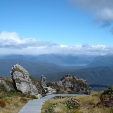
You reach the lake by road from Clifden at its northern end, where basic facilities are located. Water taxis operate on the lake and provide access to remote areas and walking tracks that would be difficult to reach otherwise.
Mary Island's cave on its eastern side holds a Māori woman found in 1967, seated upright on a bier of sticks and leaves, wearing a flax cloak and a dog-skin collar edged with weka feathers. She was placed there around 1660 and later identified as a chieftain of the Ngāti Mamoe; a steel and wire-mesh grille lets visitors view the burial without touching it.
The community of curious travelers
AroundUs brings together thousands of curated places, local tips, and hidden gems, enriched daily by 93,685 contributors worldwide.