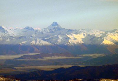
Mount Aspiring, Glaciated summit in Southern Alps, New Zealand
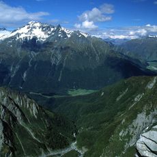
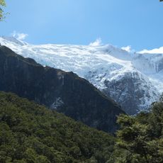
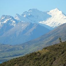
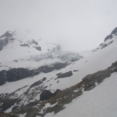
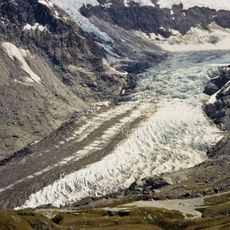
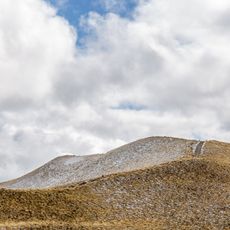
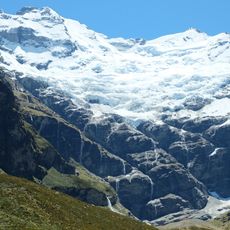
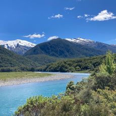
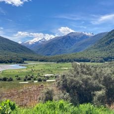
Mount Aspiring is a 3,033 meter (9,951 foot) summit in the Southern Alps and the highest peak outside the Aoraki Mount Cook region. The mountain features steep slopes with multiple glaciers covering its flanks and upper reaches.
The first successful ascent took place in 1909, led by Major Bernard Head with guides Jack Clarke and Alec Graham. Since then, it has become a destination for mountaineers seeking technical climbing challenges.
The local Waitaha people call this peak Tititea, meaning clear or shining summit. This name reflects their spiritual connection to the mountain and its role as a landmark in the landscape.
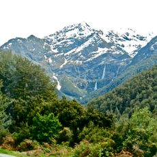
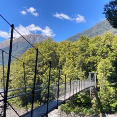
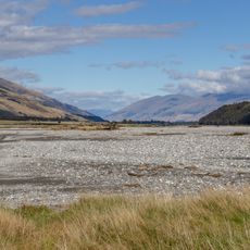
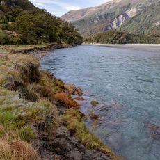
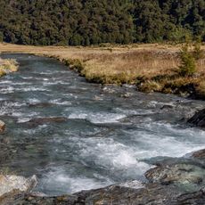
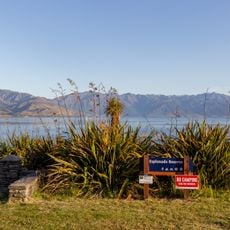
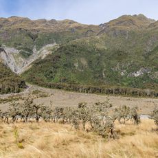
Access to the mountain is typically from Wanaka, via the West Matukituki Valley leading to Raspberry Flat as the main staging area. From there, climbers face a multi-day journey involving hiking and technical rock and ice climbing.
Three major glacier systems converge at the peak: the Bonar, Volta, and Therma glaciers create an intricate ice landscape. This confluence makes the area scientifically significant for glacier research.
GPS coordinates: -44.38416,168.72796
Latest update: December 6, 2025 16:03
New Zealand provides photographic subjects ranging from the Southern Alps to sand beaches on both coastlines. The landscape includes thermal springs in Rotorua, glaciers like Franz Josef and Tasman, and fjords in Fiordland. Mount Cook dominates the alpine region while the Coromandel Peninsula holds...
That Wānaka Tree
46.6 km
Roys Peak
42.9 km
Mount Aspiring National Park
413 m
Rob Roy Glacier
8.1 km
Mount Earnslaw
37.1 km
Olivine Ice Plateau
28.9 km
Dart Glacier
12 km
Bridal Veil Falls
51.9 km
Rob Roy Falls
10.5 km
Leaning Tower of Wanaka
49 km
Blue Pools Track
50.1 km
Mou Waho Island Scenic Reserve
34 km
Courtneys Flat
45.2 km
St Columba's Anglican Church
47.6 km
Abruzzi Glacier
29.9 km
Isthmus Peak
38.5 km
Roys Bay
46 km
Dans Flat
32.5 km
Siberia Valley
33.5 km
Esplanade Reserve
50 km
Mt Aurum Homestead and Skippers School Complex
51.2 km
Earnslaw Glacier
37.7 km
Kerin Forks Flat
30.9 km
Rainy Flat
48.3 km
Cameron Flat
52.2 km
Seal Col
30.5 km
Skippers Road
51.4 kmVisited this place? Tap the stars to rate it and share your experience / photos with the community! Try now! You can cancel it anytime.
Discover hidden gems everywhere you go!
From secret cafés to breathtaking viewpoints, skip the crowded tourist spots and find places that match your style. Our app makes it easy with voice search, smart filtering, route optimization, and insider tips from travelers worldwide. Download now for the complete mobile experience.
A unique approach to discovering new places❞
— Le Figaro
All the places worth exploring❞
— France Info
A tailor-made excursion in just a few clicks❞
— 20 Minutes