Mount Aspiring National Park, National park in South Island, New Zealand
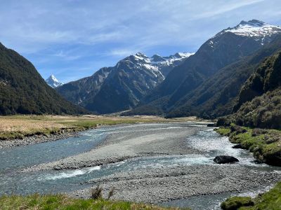
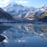
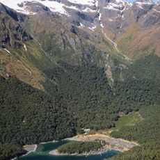
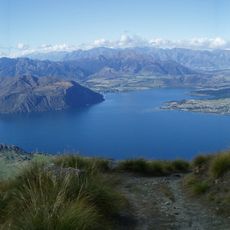
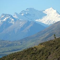
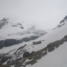
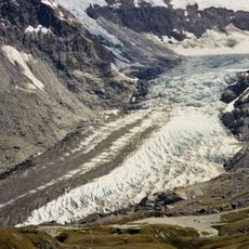
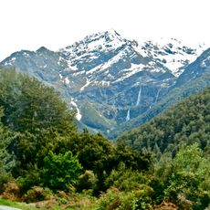
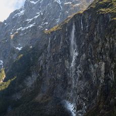
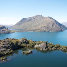
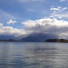
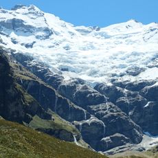
Mount Aspiring National Park is a national park in the Southern Alps on New Zealand's South Island, featuring snow-capped mountains, glacial valleys, and alpine meadows. The terrain includes multiple river valleys and basins carved between high ridgelines.
The park became New Zealand's tenth national park in 1964, and later received UNESCO World Heritage recognition in 1990. These milestones established its protected status and international importance for its natural landscapes.
The central peak carries the Māori name Tititea, meaning steep white peak, reflecting how Indigenous people understood this mountainous terrain. Local Māori traditions recognized this landscape as a significant place shaped by ice and elevation.
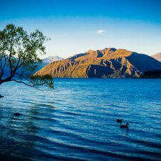
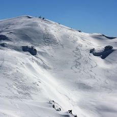
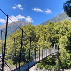
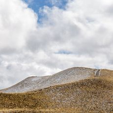
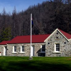
The park is accessible via Haast Pass Highway from the northeast or State Highway 6 from the northwest, with Wanaka and Queenstown serving as nearby entry towns. Multiple walking trails of varying difficulty span the park, ranging from short walks to multi-day treks.
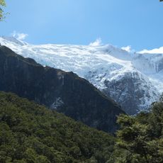
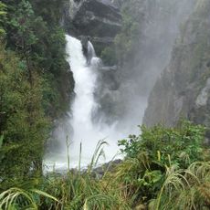
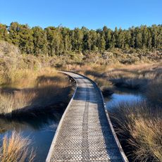
The Rob Roy Glacier Track guides hikers through beech forests to overlooks of active glaciers and waterfalls while revealing the mountain that gives the park its name. This popular path showcases the shift from forest to alpine zones within a single outing.
The community of curious travelers
AroundUs brings together thousands of curated places, local tips, and hidden gems, enriched daily by 60,000 contributors worldwide.