Blue Pools Track, Hiking trail in Mount Aspiring National Park, Otago Region, New Zealand.
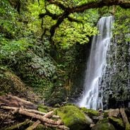
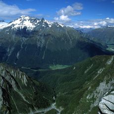
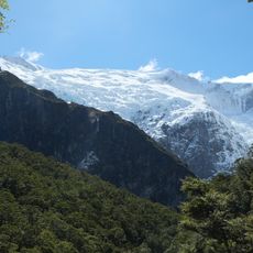
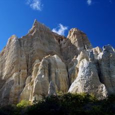
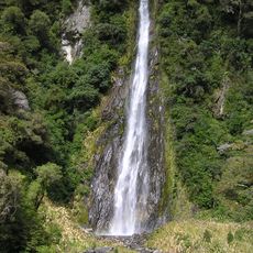
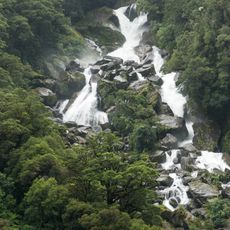
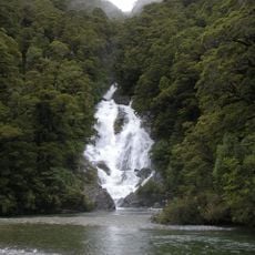
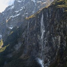
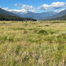
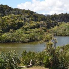
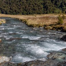
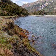
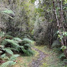
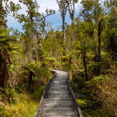
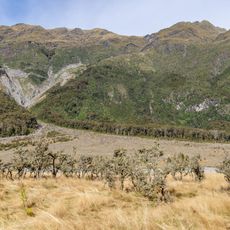
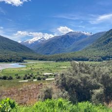
Blue Pools Track is a hiking trail through silver beech forest in Mount Aspiring National Park that leads to natural pools formed by glacial water. The path connects the woodland landscape to the mountain formations that feed the water.
The area served as a gathering place for local Māori communities for generations who utilized its natural resources. This location held cultural significance in the region's history long before modern exploration.
The forest along the path is home to native birds, including the threatened yellowhead mohua. These species shape the feeling of wilderness that visitors experience while walking through the canopy.
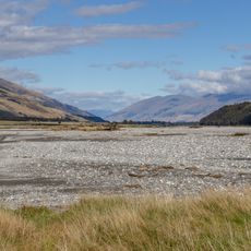
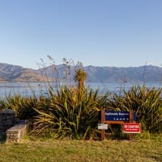
Access is from State Highway 6 opposite Cameron Flat campsite, where a parking area and restroom facilities are available. The hike requires sturdy footwear and should be planned during good weather, as conditions can change quickly.
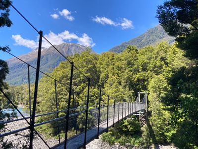
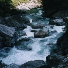
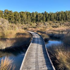
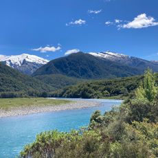
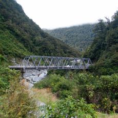
Two swing bridges cross the Makarora River and allow visitors to watch large brown and rainbow trout in the clear water. Spotting these fish in their natural environment is often the highlight for first-time walkers.
Location: Otago Region
Elevation above the sea: 36 m
GPS coordinates: -44.16244,169.27425
Latest update: December 6, 2025 19:04
New Zealand provides photographic subjects ranging from the Southern Alps to sand beaches on both coastlines. The landscape includes thermal springs in Rotorua, glaciers like Franz Josef and Tasman, and fjords in Fiordland. Mount Cook dominates the alpine region while the Coromandel Peninsula holds...
Mount Aspiring
50.1 km
Mount Aspiring National Park
49.6 km
Rob Roy Glacier
53 km
Clay Cliffs
59.6 km
Gates of Haast
16.1 km
Thunder Creek Falls
15.6 km
Roaring Billy Falls
25.5 km
Fantail Falls
13 km
Rob Roy Falls
56.6 km
Mou Waho Island Scenic Reserve
46 km
Courtneys Flat
5.5 km
Pleasant Flat
19.4 km
Whakapohai Wildlife Refuge
48.3 km
Monro Beach
51.9 km
Isthmus Peak
34 km
Hapuka Estuary Walk
41 km
Haast Visitor Centre
38.2 km
Haast River Bridge
38.6 km
Dune Lake Walk
46.2 km
Siberia Valley
18.5 km
Dans Flat
17.8 km
Esplanade Reserve
49.8 km
Haast to Paringa Cattle Track
36.9 km
Swamp Forest Walk
45.7 km
Kerin Forks Flat
19.1 km
Rainy Flat
2.2 km
Cameron Flat
2.2 km
Gates of Haast Bridge
16.1 kmVisited this place? Tap the stars to rate it and share your experience / photos with the community! Try now! You can cancel it anytime.
Discover hidden gems everywhere you go!
From secret cafés to breathtaking viewpoints, skip the crowded tourist spots and find places that match your style. Our app makes it easy with voice search, smart filtering, route optimization, and insider tips from travelers worldwide. Download now for the complete mobile experience.
A unique approach to discovering new places❞
— Le Figaro
All the places worth exploring❞
— France Info
A tailor-made excursion in just a few clicks❞
— 20 Minutes