
Mangapurua Valley Historic Area, historic area in Ruapehu, New Zealand
Location: Ruapehu District
Address: Mangapurua Valley, Ruapehu
GPS coordinates: -39.21858,174.98712
Latest update: March 14, 2025 12:40
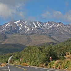
Mount Ruapehu
50.2 km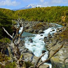
Tongariro National Park
51.5 km
Chateau Tongariro
47.7 km
Raurimu Spiral
37.4 km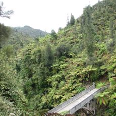
Bridge to Nowhere
6 km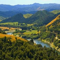
Whanganui National Park
41.4 km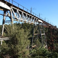
Makatote Viaduct
35.1 km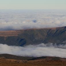
Hauhungatahi
39.4 km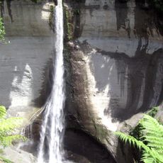
Mount Damper Falls
37.5 km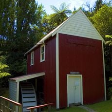
Kawana flour mill
44.3 km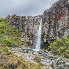
Taranaki Falls
49.8 km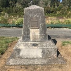
Last Spike Monument
35.3 km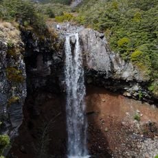
Mangawhero Falls
45.8 km
Tawhai Falls
45.8 km
Mahuia Rapid
45.4 km
Waitonga Falls
46.8 km
Silica Rapids
46.9 km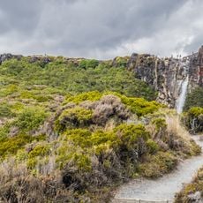
Taranaki Falls Walk
49.9 km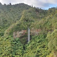
Tupapakurua Falls
32.1 km
Hitching Rail
34 km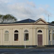
Bank of New Zealand
34 km
Taonui Viaduct
36.9 km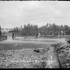
Matapuna Bridge
46.4 km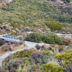
Silica Rapids Walk
46.9 km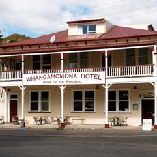
Whangamomona Hotel
23.2 km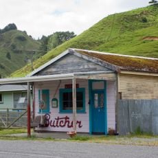
Butcher's Shop
23.2 km
Theatre Royal
34.3 km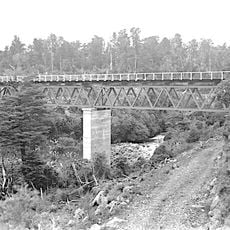
Mangaturuturu Viaduct
36 kmVisited this place? Tap the stars to rate it and share your experience / photos with the community! Try now! You can cancel it anytime.
Discover hidden gems everywhere you go!
From secret cafés to breathtaking viewpoints, skip the crowded tourist spots and find places that match your style. Our app makes it easy with voice search, smart filtering, route optimization, and insider tips from travelers worldwide. Download now for the complete mobile experience.

A unique approach to discovering new places❞
— Le Figaro
All the places worth exploring❞
— France Info
A tailor-made excursion in just a few clicks❞
— 20 Minutes