Lake Taupō, Volcanic crater lake in North Island, New Zealand.
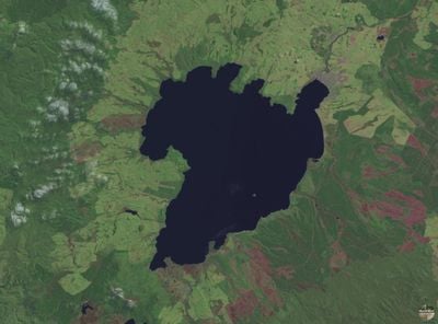
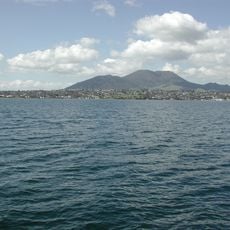
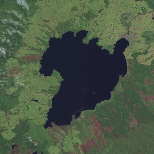
Lake Taupō is New Zealand's largest lake, a crater lake in the caldera of the Taupō volcano on the North Island. It measures 40 km by 28 km, covers 622 km² and reaches a maximum depth of 160 m. Its jagged shoreline is bordered by hills rising 500 to 700 m, and Motutaiko Island lies 3.4 km off the southeastern shore.
The Ōruanui eruption of the Taupō volcano about 26,500 years ago ejected nearly 1,200 km³ of ash and pumice, over a hundred times the 1991 Pinatubo output. The magma chamber then collapsed, forming a 140 km² caldera that enlarged to more than 500 km² as adjacent ground gave way. Water from a 3,487 km² catchment filled the basin until it broke through at today's Taupō town, creating the Huka Falls.
The lake holds deep meaning for the Ngāti Tūwharetoa people, whose history is visible in rock carvings at Mine Bay. These carvings tell stories of navigators and keep people connected to their ancestors.
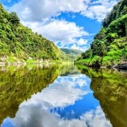
State Highway 1 runs along the eastern shore, while State Highways 32 and 41 pass to the west. The lake level is kept between 355.85 and 357.20 m by control gates on the Waikato River built in 1940–41. The only outflow is the Waikato at the northeastern end, where the Huka Falls drop about 11 m.
Lake Taupō has only one outflow, the Waikato River at its northeastern end, and its level is held between 355.85 and 357.20 m by control gates built in 1940–41 for the eight Waikato hydroelectric dams. The gates limit flooding and keep a minimum flow of 50 m³/s in the river.
The community of curious travelers
AroundUs brings together thousands of curated places, local tips, and hidden gems, enriched daily by 94,373 contributors worldwide.