Pakūranga, Residential suburb in Auckland Region, New Zealand
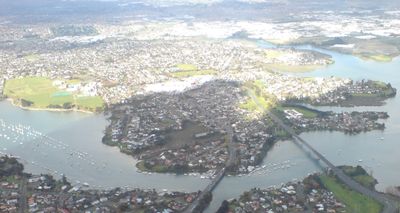
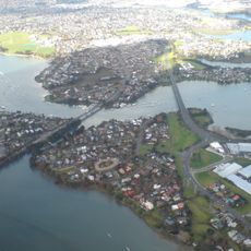
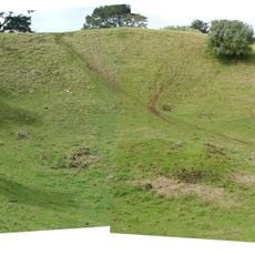
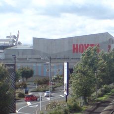
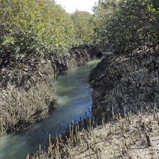
Pakūranga is a residential suburb in the Auckland Region that spreads across low ridges and former swamplands between two waterways. The area forms a peninsula roughly 15 kilometers southeast of Auckland's city center, with Pakūranga Plaza functioning as the main shopping hub.
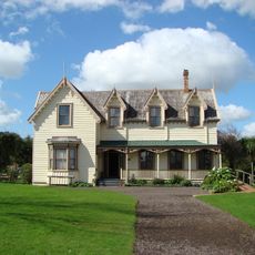
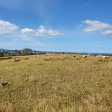
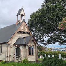
The area was originally settled by Maori people but transformed into European farmland following a government land sale in 1843. Settlers, including military personnel known as fencibles, began establishing farms and developing the agricultural landscape.
The name comes from a Maori account about supernatural forces that shaped Auckland's volcanic landscape through their actions. Local residents today see this heritage reflected in place names and stories passed through generations.
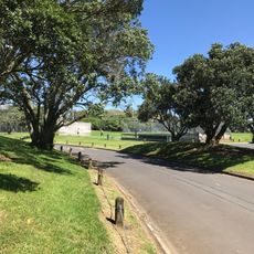
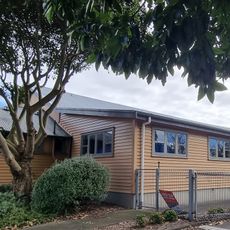
Visitors can easily access everyday shops, restaurants, and services at Pakūranga Plaza, which serves as the main gathering point for the neighborhood. Public transportation connects the area to the wider city, and parking is generally available.
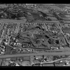
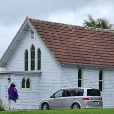
The area shifted from growing wheat to dairy farming in the late 1800s before becoming a housing neighborhood during the 1950s urban expansion. This transformation shows how rural areas near cities can change within a few generations.
The community of curious travelers
AroundUs brings together thousands of curated places, local tips, and hidden gems, enriched daily by 60,000 contributors worldwide.