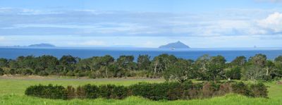
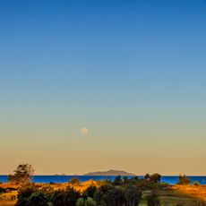
Hen and Chicken Islands, Coastal archipelago in Northland Region, New Zealand.
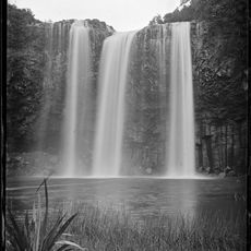
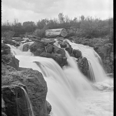
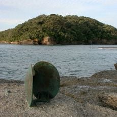
Hen and Chicken Islands form a scattered group of landmasses off the eastern coast featuring steep cliffs, sandy coves, and rocky outcrops spread across roughly 8 square kilometers. The islands display varying coastal formations, from exposed rocky faces to sheltered bays with different beach types.
Captain James Cook charted this group on November 25, 1769, and gave it a name drawn from a European star constellation. The Ngā Puhi people held authority over these waters until 1883, when control passed to the government.
The islands reflect a blend of Maori navigation knowledge and European naming practices, with the Ngā Puhi understanding this place as part of their ancestral territory. Their connection to these waters shaped how the land was used and protected over centuries.
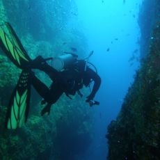
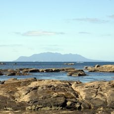
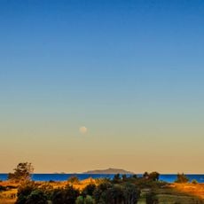
Reaching the islands requires a boat journey from the mainland, with tours available from several departure points along the northern coast roughly 40 kilometers from Whangārei. Water conditions can be unpredictable, so visitors should expect variable weather and sea states.
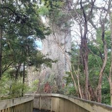
The islands shelter a population of flightless forest birds that faced extinction on the mainland and found refuge in this remote location. This population demonstrates how isolated places serve as lifeboats for species facing severe threats elsewhere.
The community of curious travelers
AroundUs brings together thousands of curated places, local tips, and hidden gems, enriched daily by 60,000 contributors worldwide.


![St Andrew's Church [Relocated]](https://img9.digsty.com/1R4tWqofCrSUsUMtrDCpbUNB8rk7x5luFVE7YXSahvw/rs:fill:230:230:1/g:fp:0.5:0.5/czM6Ly9hcm91bmR1cy8xNC80NzE2NTE1LTI5YTY4ZmJiLmpwZw.jpg)